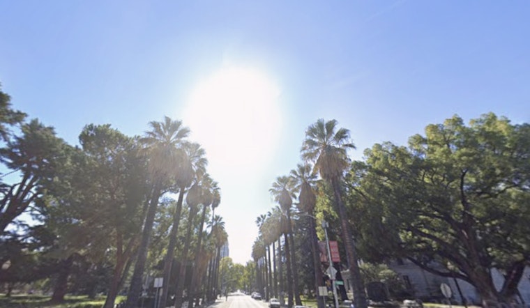
Wednesday, April 15, 2026, starts crisp and clear in Sacramento, with morning temps in the upper 40s (around 48°F) and a light south‑southeast breeze. Skies clear out quickly, setting up a mostly sunny afternoon with a high near 71°F, a sweet spot for errands, dog walks or grabbing lunch outside without breaking a sweat.
Afternoon Sunshine And Mild Jacket Weather
Most neighborhoods should hold onto the sunshine through the afternoon, with gentle southerly winds around 3 to 8 mph and temperatures climbing into the upper 60s and low 70s. There is a small 10 to 20 percent chance of low clouds or patchy fog along river corridors and near the Delta through mid‑morning, but any fog is expected to burn off by late morning.
Thursday North Wind: Who Needs To Watch
A quick‑moving system from Wednesday night into Thursday will drag in light rain and snow in the mountains, followed by a brisk northerly push across the valley on Thursday, April 16, 2026. The National Weather Service Sacramento projects valley gusts generally in the 25 to 35 mph range, with a 30 to 50 percent chance of isolated gusts up to 40 mph along and west of Interstate 5 and north of Highway 50. Exposed bridges and open corridors are likely to see the strongest winds. It is a good idea to tie down or bring in lightweight patio furniture and yard items before Thursday afternoon rolls in.
Weekend Outlook
High pressure builds in late week, bringing dry and warmer weather Friday and Saturday, April 17 and 18, with afternoon highs near 75°F. A faster‑moving trough may slide in Sunday into Monday, April 19 and 20, which would increase chances for light rain and mountain snow, so it is worth having a backup plan for any outdoor events on Sunday.
Commute Tips
The toughest travel period is expected Thursday afternoon, when crosswinds could make merging and bridge crossings a bit dicey. Give extra space to high‑profile vehicles and ease off the gas if gusts pick up. Transit riders should keep an eye on SacRT for scheduled Blue Line disruptions that may overlap with commute windows this week.
If you are heading into the Sierra on Thursday, snow levels should stay above about 6,000 feet with only minor accumulations expected, although mountain roads could still turn slick. For the latest watches, warnings and road conditions, follow the National Weather Service along with local road authorities before you travel.


