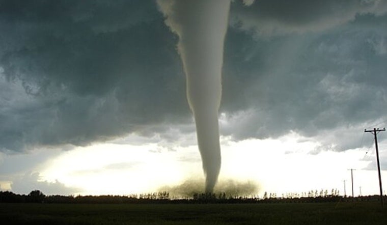
The National Weather Service has issued Tornado Watch 86 for Oklahoma City and much of central Oklahoma, stretching into parts of northern Texas, turning an ordinary Wednesday afternoon into a tense wait for severe weather. The watch was posted at about 4:40 p.m. CDT on April 1, 2026, and is scheduled to remain in effect through 12:00 a.m. CDT (midnight) on April 2, 2026. Officials are urging residents to keep phones charged, have a shelter plan ready and stay on top of local alerts as storms develop.
What the watch covers
Tornado Watch 86 includes dozens of counties scattered across central Oklahoma and nearby portions of northern Texas, including areas that cover the Oklahoma City metro and the University of Oklahoma community in Norman. The official watch outline lists each county under the watch and the exact valid times, according to the National Weather Service.
How to protect yourself
A watch means conditions are favorable for tornadoes, so you should be ready to act. If a warning is issued for your area, that is the cue to stop what you are doing and take shelter immediately. As the National Weather Service puts it, you should "put as many walls between yourself and the outside and avoid windows" and move to a basement or the lowest floor of a sturdy building. If you are driving and cannot reach a building in time, the National Weather Service says to get out of your vehicle and lie in a nearby low spot, away from vehicles and trees. These recommendations are detailed by the National Weather Service.
Why forecasters flagged the risk
Meteorologists at the Storm Prediction Center have placed parts of the southern Plains under an Enhanced risk for severe thunderstorms today, pointing to a combination of wind shear and instability that supports long-lived supercells capable of spinning up tornadoes, dropping large hail and producing damaging straight-line winds. The Storm Prediction Center's outlook and the day's storm reports, which already show multiple hail and damaging-wind events across the region, contributed to the decision to issue such a broad watch area. See the Storm Prediction Center Day 1 outlook and Storm Prediction Center storm reports for the latest technical details.
Keep an eye on local updates
Local outlets are tracking the storms in real time, posting live radar, active alerts and on-the-ground coverage, as reported by The Oklahoman. If you are inside the watch area, keep a NOAA Weather Radio and local media nearby and be ready to head to an interior, windowless room on the lowest floor if a tornado warning is issued for your location.


