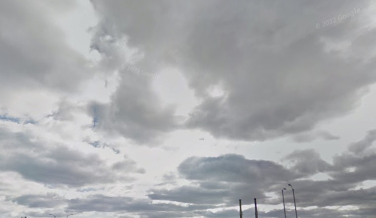
Milwaukee wakes up calm and clear, but the day is heading for a louder finish. As of 5:40 AM local time Thursday, April 23, Mitchell International was reporting clear skies and about 52°F. With a steady south wind, most neighborhoods should warm nicely into the upper 60s to around 70°F this afternoon. Late tonight into early Friday, scattered showers and thunderstorms are expected, with the strongest storms most likely between 11 PM Thursday, April 23 and 2 AM Friday, April 24.
Afternoon Winds Pick Up
Thursday, April 23 is on track for a high near 70°F, paired with south winds of 5 to 15 mph and gusts that could briefly reach about 25 to 30 mph near the lakeshore. That breeze will make the lakefront feel extra blustery, so expect a noticeable lake breeze during any afternoon walks, runs or patio time. It is a good idea to secure lightweight yard items and watch for small branches that might get blown into streets.
Late Tonight Into Friday: Storms and Flooding Risk
Scattered to numerous showers and thunderstorms are likely late Thursday night into Friday morning, with the greatest chance for storms overnight, roughly between 11 PM Thursday, April 23 and 6 AM Friday, April 24. The National Weather Service highlights a marginal risk for severe storms, mainly from damaging straight-line winds. Because the ground is already saturated from earlier April rains, even brief heavy downpours could lead to urban and small-stream flooding.
Plan on metro rainfall totals generally in the few-tenths of an inch range, with locally higher amounts possible. Avoid driving through standing water, and build in extra time for the Friday morning commute if storms roll through during the overnight and early morning hours, according to NWS Milwaukee.
Marine And Lakeshore Concerns
Southeast winds will strengthen Thursday afternoon into Friday, stirring up choppy conditions on the lake and building waves in exposed nearshore waters. Areas north of Port Washington could see the roughest ride, with waves around 4 to 6 feet late Thursday into Friday. Boaters should expect bumpy conditions, tie down any loose gear on docks or open boats, and check a live marine forecast before heading out.
Weekend Outlook
High pressure settles over the region for the weekend, bringing drier and cooler air. Saturday should be mostly sunny with a high near 58°F, and Sunday looks partly sunny with a high near 57°F. The next shot at rain returns late Sunday night into Monday, April 27, when showers and thunderstorms are likely and some heavy rain is possible. Keep an eye on forecasts if you have outdoor plans early next week, according to NWS Milwaukee.
What To Do Tonight
Before the storms arrive, move lightweight outdoor items indoors so they do not turn into airborne projectiles in the gusts. Consider pushing back any late-night plans if thunderstorms are in your neighborhood forecast. If you are driving in heavy rain, slow down, keep extra distance, and never try to cross flooded roadways. Stay tuned to local alerts and the National Weather Service for any watches or warnings that may be issued overnight.


