Las Vegas wakes up mostly clear and around 55°F this Sunday morning, April 26, with light southwest breezes and a calm start that will not last. Through the afternoon and into the evening, winds are expected to strengthen, and there is a slight chance late in the day for spotty rain showers or an isolated thunderstorm capable of brief heavy downpours and sudden gusts. The high should top out near 72°F, setting up a warm but noticeably blustery afternoon.
Afternoon Winds Pick Up
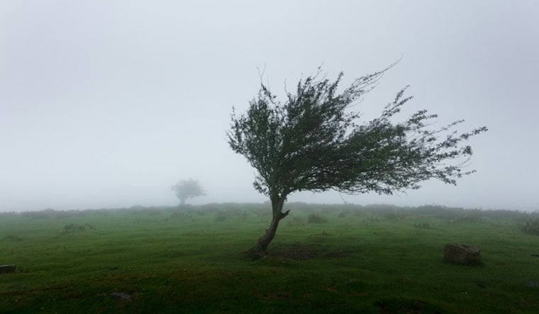
According to NWS Las Vegas, parts of the western Mojave Desert and Morongo Basin are under a Wind Advisory through 11 a.m. Sunday, with southwest winds generally 25 to 35 mph and gusts up to around 50 mph. Across the Las Vegas Valley, southwest winds are expected to run about 14 to 21 mph this afternoon with gusts near 29 mph, enough to shove around unsecured patio furniture and make things tricky for high-profile vehicles. Tie down what can move and take it easy on exposed roads and bridges.
Spotty Showers Try Their Luck Tonight
Moisture moving inland gives the valley roughly a 20 to 30 percent chance of brief, hit-or-miss showers and an isolated thunderstorm this afternoon and evening, mainly over higher terrain and the southern Great Basin. Any stronger cells could bring brief heavy rain and erratic winds, while mountain slopes above about 7,000 feet may pick up a slick wintry mix. If you have evening plans, it is worth having a dry backup option in mind, as any showers should be scattered and short lived but gusty as they move through.
Midweek Warm-Up Rolls In
Once this system moves out, temperatures rebound quickly. Highs are forecast near 80°F on Tuesday, April 28, climbing into the mid 80s by Wednesday and returning to the low 90s by Friday and Saturday. For the latest updates and the most precise timing of those gusty periods, check the forecast from NWS Las Vegas before you head out.


