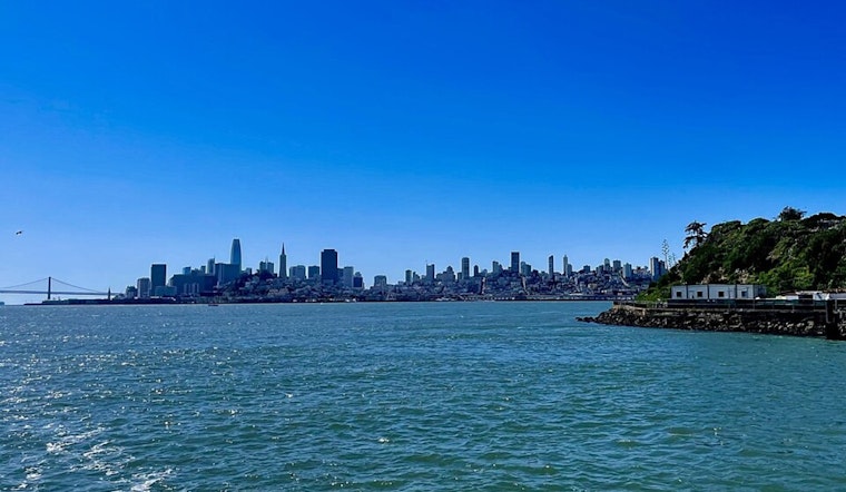
San Francisco woke up today to a cool, mostly cloudy start, with temperatures stuck in the low 50s and a slight chance of drizzle before sunrise. The afternoon should still bring some sun and a high near 64°F, but the real headline is gusty west-northwest winds that will strengthen through the day. Along the coast, very rough surf and strong rip currents are expected, so beach plans are better postponed.
Afternoon Winds Pick Up
Winds will build through the morning and peak from this afternoon into early evening, with sustained west-northwest speeds of 10–22 mph and urban gusts near 30–35 mph. Higher ridgelines and the North Bay interior can see 30–40 mph gusts, and isolated 50 mph gusts are possible in exposed East Bay hills. Those gusts could make bridge crossings and exposed roadways tricky for high-profile vehicles and are strong enough to toss around unsecured patio furniture or signage.
Beach And Marine Hazards
According to NWS San Francisco, a Beach Hazards Statement is in effect for Pacific Coast beaches from about 9 AM today through 9 AM tomorrow. It warns of very rough seas, large breaking waves and strong rip currents, and urges people to stay off jetties and piers. Small Craft Advisories and Gale Warnings are posted for parts of Monterey Bay and offshore waters, and seas may build into the 10–15-foot range in places. Mariners and beachgoers are urged to monitor forecasts throughout the day and avoid getting close to the surf line.
Plan For Your Commute
Expect gusty crosswinds on exposed routes and possible ferry or recreational-boat delays during the afternoon peak. Give yourself extra time if you are biking along the Embarcadero or driving on exposed bridges. Secure bicycles, outdoor furniture and lightweight gear before the strongest gusts arrive, and stay away from shoreline rocks and jetties where sneaker waves can be dangerous. For nonessential beach or small-boat plans, the safer move is to wait until Wednesday, when winds and seas are forecast to subside.


