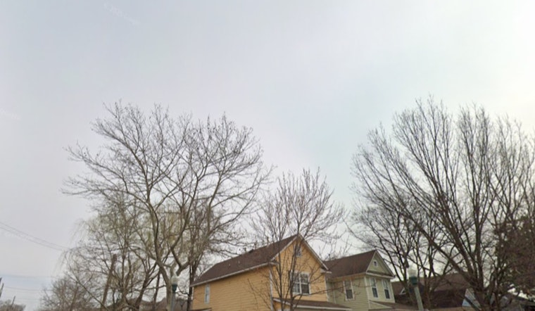
Washington, D.C. woke up under a gray, cool ceiling on Thursday, May 21, with low clouds parked over the city and temperatures stuck in the mid-60s at Reagan National. Light showers in the morning are expected to build through the day, with showers and thunderstorms likely later this afternoon and into the evening. Brief heavy downpours and gusty northeast winds could slow the evening commute, and highs will struggle to reach about 65°F before temperatures slip back tonight.
According to the National Weather Service Baltimore/Washington, multiple rounds of on-and-off rain are expected through the holiday weekend, with new rainfall totals of roughly 1 to 3 inches possible through Monday and localized higher amounts in the Alleghenies. Forecasters put the chance of showers and thunderstorms this afternoon at roughly 60–70% and note northeast winds of 7–10 mph with gusts near 20 mph. It is a sharp reset after the mid-week heat spike covered in early heat blast sends temps toward 90s.
Afternoon Commute And Outdoor Plans
Drivers should brace for slick roads and reduced visibility during heavier downpours, especially through the afternoon and evening commute. If you have outdoor errands or plans, it is wise to allow extra travel time. Severe storms are not expected to be widespread given the thick cloud cover, but localized heavy rain could still trigger brief urban flooding on poorly drained streets.
Boaters And The Potomac
Small craft advisories are in effect for parts of the Chesapeake and the lower tidal Potomac from Thursday morning into the evening as onshore flow kicks up gusts and choppy water. Recreational boaters are urged to avoid exposed waters until conditions improve. The National Weather Service Baltimore/Washington notes gusts up to about 20 knots early on, with winds gradually tapering tonight.
Weekend Outlook And Memorial Day
The cool, damp pattern is expected to linger through Saturday, with highs mainly in the upper 50s to mid-60s before warmer air noses back in late in the holiday weekend. Memorial Day, Monday, May 25, is forecast to be warmer, with highs near 79°F, but the day still carries a chance of showers and thunderstorms that could affect events along Constitution Avenue. The HSEMA calendar lists the Freedom 250 National Memorial Day Parade for Monday, so attendees will want to watch for forecast updates.
Planning ahead will help: carry an umbrella and a wind-resistant jacket, secure loose outdoor items, and avoid driving through standing water. If you are heading out on the water, consider postponing nonessential outings until advisories lift and check the latest local forecast before you go.


