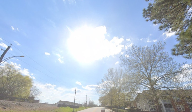
Washington, D.C. wakes up to a cloudy, cool start on Thursday, May 14, 2026, with patchy fog around daybreak and temperatures hovering near 55°F at Reagan National Airport. Northwest winds will ramp up through the morning, so that short walk to the Metro is going to feel colder than the numbers on the thermometer.
Scattered Showers and a Northwest Wind Chill
Scattered rain showers will pass through on and off during the day, with a high near 65°F and light rainfall totals, generally less than a tenth of an inch for most neighborhoods. Northwest winds of 8 to 14 mph will gust up to about 23 mph this afternoon, which could leave outdoor plans feeling both breezy and a bit soggy.
Small Craft Advisory on the Potomac and Chesapeake
A Small Craft Advisory is posted for the tidal Potomac and Chesapeake waters from 6 a.m. Thursday through 3 p.m. Friday. Mariners should brace for choppy water and gusts near advisory levels. The advisory also means boaters and waterfront visitors are urged to secure loose gear and skip small-vessel outings, according to the National Weather Service Baltimore/Washington.
Weekend Warmup, Then Storm Chances
Temperatures rebound into the mid 70s on Friday, climb into the 80s on Saturday, and push into the low 90s by Sunday and Monday (May 1718). Each of those warmer days carries a chance of afternoon or evening showers and storms as warmer, more humid air flows back in from the south. For broader timing and the setup through the weekend, see this look at the gusty storm threat.
What To Do Today
Grab a light jacket and an umbrella for the morning commute, and give yourself extra time if your route runs through low-lying, fog-prone areas. If you had plans to take a smaller boat out, it is a good day to postpone until the advisory expires. Before heading out, check the latest NWS marine forecast and local transit updates so weather and wind do not catch you off guard.


