Portland is starting off cloudy and cool on Saturday, May 16, with temperatures near 46°F at Portland International Airport and scattered showers already sweeping across the metro. Periods of steadier rain and a few rumbles of thunder are on the table from late morning into the afternoon, with the wettest stretch expected from late morning through mid-afternoon. Pack a rain jacket and leave extra time for errands. Slick sidewalks and slower commutes are likely.
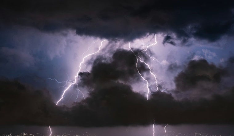
Showers And Thunderstorms Today
Rain showers are likely before 11 a.m., followed by showers and thunderstorms through the afternoon with a high near 59°F. Southwest winds will swing around to the west-northwest and gust to about 20 to 21 mph, with new rainfall totals of roughly a tenth to a quarter inch possible. A Winter Weather Advisory is in effect for Cascade passes above 4,000 feet through 11 PM PDT Saturday, May 16, and higher elevations near Mt. Hood could see 4 to 8 inches of snow, with 12 to 18 inches above 5,000 to 5,500 feet, according to the National Weather Service in Portland.
Cascades And Travel Impacts
Mountain roads are the main trouble spots today, with webcams already showing snow on the pavement at Government Camp and blowing snow at Santiam and Willamette passes. Chains or traction tires may be required at higher elevations. Daytime sunshine should help melt some of the snow on major highways, but travelers should still expect slower trips to trailheads and ski areas. Boaters are looking at a Small Craft Advisory for coastal waters and the Columbia River Bar through early Sunday, May 17, with seas forecast to build into the 10 to 12 foot range this afternoon.
Commute And Weekend Plans
Heavier downpours will briefly cut visibility and create slick spots, so cyclists and transit riders should plan a little extra time or think about an alternate route. Conditions trend drier on Sunday, May 17, when partly sunny skies return and inland highs climb into the mid-60s. A more sustained warm-up is expected next week with highs back into the 70s, and if you have outdoor plans later in the week, midweek currently looks sunnier and more reliably dry.
We first flagged this system in our Friday night rain looms coverage; this update adds the Winter Weather Advisory and early snowfall reports for the Cascades.


