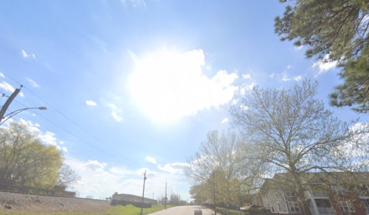
Washington, D.C., is starting Tuesday, May 5, 2026, under clear skies and comfortable low 60s. That calm is not going to last long. Forecasters say we are headed for a sunny afternoon high near 86°F, the kind of early-season heat that feels a lot like summer clocking in ahead of schedule.
Afternoon Winds Ready To Roar
According to the National Weather Service, today’s high near 86°F will be paired with southwest winds of 8 to 16 mph, with gusts hitting up to 32 mph. Small Craft Advisories kick in at 10 a.m. Tuesday and run through Wednesday afternoon on nearby tidal waters, as those gusts turn the Potomac and Chesapeake choppy and make unsecured patio setups a problem waiting to happen.
Translation for your routine: tie down umbrellas, grills, and lightweight furniture before lunchtime and watch for gusty crosswinds on bridges and other exposed stretches during the afternoon commute. If you have waterfront plans, check conditions first, since the seas will be rough near shore while those advisories are up.
Cold Front Brings Wet Wednesday, Cooldown After
A cold front moves in on Wednesday, bringing rain showers before about 5 p.m., followed by showers and thunderstorms. The high tops out near 77°F. The National Weather Service puts the chance of precipitation around 80 percent, with new rainfall amounts of about a tenth to a quarter of an inch possible across much of the region.
Showers and thunderstorms may hang on into Wednesday night, then cooler air settles in. By Thursday, highs slide back into the low 60s. Temperatures climb again into the 70s by the weekend, although forecasters say additional spotty showers could pop up on Saturday.
Fire Weather Concerns And Boating Caution
Meteorologists are also flagging elevated to near-critical fire weather conditions this afternoon in areas west of the Blue Ridge, where fuels are drier and the combination of gusty winds and lower humidity raises concern. Boaters are urged to stay off exposed waters while advisories remain in effect and to follow local marine guidance if you absolutely must be on the water.
How This Fits Into The Spring Weather Whiplash
This warm-then-wet setup tracks with what we saw earlier this spring. For more context on the seasonal pattern, see our April coverage of swelter and surprise storms across the D.C. area. If you have outdoor plans later this week, keep an eye on updated forecasts and be ready to shift events indoors on Wednesday evening.
Bottom line: enjoy the warm sunshine today, secure anything the wind can grab, boaters heed the advisories, and plan on a soggy, stormy stretch for the Wednesday commute. Check the National Weather Service for the latest updates before heading out.


