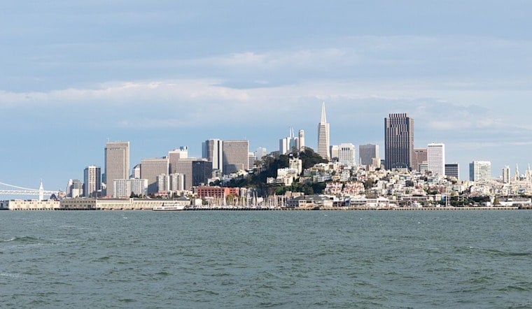
San Francisco kicked today with blue skies, a sharp offshore breeze, and temperatures in the mid‑60s along the shoreline, with much drier air baking inland. Low humidities over the hills and brisk north winds are nudging interior highs into the low 80s while whipping up very rough surf along west‑facing beaches.
Afternoon Winds And Coastal Hazards
Inland neighborhoods are on track for highs near 83°F this afternoon, while the immediate coast is expected to hold in the 60s. A Wind Advisory covering the Santa Cruz Mountains, North Bay interior mountains, and East Bay hills remains in effect until 11 AM PDT, with north‑northeast gusts raking ridge tops and funneling through gaps.
Across the city and peninsula, north to northwest winds of 8 to 14 mph with gusts up to 25 to 30 mph are expected, and a Beach Hazards Statement is in place until 9 AM PDT for west‑facing beaches, where strong northerly flow is kicking up very rough surf and powerful rip currents, according to the National Weather Service.
Interior Fire Weather And Travel Impacts
Across interior areas, dry air with humidities in the low teens to mid‑20s keeps fire danger elevated and limits overnight recovery. The gusty winds can make life difficult for high‑profile vehicles, knock down small limbs, and trigger isolated power interruptions. It is a good day to secure anything that can blow around and budget a little extra time for the commute.
More Coverage
We flagged this pattern over the weekend — check out our earlier breakdown and safety tips in howling winds whip San Francisco. For up-to-the-minute watches and warnings, be sure to review updates from the National Weather Service before heading for the shore.


