Washington, D.C. woke up to a soggy start on Monday, May 25, 2026, with mist and light rain, temperatures in the low 60s and pockets of dense fog already cutting visibility across parts of the metro. The gray skies may thin at times, but on and off showers and thunderstorms are expected through the afternoon, with highs in the mid-70s and bursts of heavier rain that could leave roads slick and puddled.
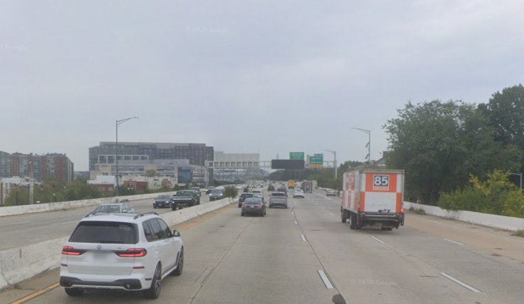
Foggy Morning Commute
Patchy fog is most likely along the I-95 corridor, on bridge approaches and near low-lying parks, where visibility can drop fast over a short stretch of road. Drivers are urged to ease off the gas on wet pavement, leave extra space for cyclists, buses and pedestrians, and build in time for possible slowdowns on surface streets during the mid-morning rush.
Active Weather Through The Afternoon
Showers and thunderstorms are likely later on Monday, May 25, 2026, with a high near 76°F and about a 70 to 90 percent chance of rain from midday into the afternoon. Forecasters expect storms to move slowly and wring out plenty of moisture. The National Weather Service Baltimore/Washington is not calling for widespread severe weather, but it does warn that localized heavy downpours could lead to ponding on roads and brief urban flooding where storms stall.
Parade And Event Impacts
The city’s big Memorial Day parade, the Freedom 250 on Constitution Avenue, is scheduled from 10:00 a.m. to 12:30 p.m. on Monday, May 25, 2026, and may contend with rain along the route. Expect crowding and traffic controls in and around downtown. District officials and event organizers are urging attendees to check official updates before heading out, since morning showers and more numerous storms later could slow entry and leave viewing areas wet. Additional details are available from DC HSEMA.
Plan Ahead
Anyone headed to parades or outdoor ceremonies should pack a waterproof layer and sturdy shoes, and have a backup indoor option ready if plans are weather-sensitive. Those boating or spending time on the Potomac should be prepared for fog this morning and the potential for hazardous conditions in heavier storms. If conditions deteriorate, follow official city and transit advisories.


