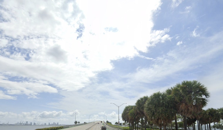
Miami rolled into Tuesday, May 12, 2026, already steaming, with temperatures in the mid-80s and the kind of humidity that feels like walking into a wall. That sultry start is expected to flip to stormy later in the day, as scattered to numerous thunderstorms fire up by mid to late afternoon. A few stronger cells could pack gusty winds and locally heavy downpours during the evening commute, so anyone with outdoor plans should keep one eye on the radar. This is the time of year when storms can bubble up fast and get intense in a hurry.
Afternoon Storms And Flood Risk
Forecasters are expecting the most widespread storm activity from Tuesday afternoon into early evening, with storms first popping over the interior and then pushing toward the east-coast metro. Coverage ramps up after about 2 p.m. While many storms will be quick hitters, some could unload a quarter to a half inch of rain tonight, enough to cause ponding on streets with poor drainage, along with strong straight-line wind gusts. Frequent lightning and sudden drops in visibility during heavier cells are also on the table, according to the National Weather Service.
What This Means For Your Commute
Drivers should be ready for slower-than-usual travel and pockets of standing water on low-lying roads during the evening rush. Airports and ferries could see brief schedule hiccups if storms drift over terminals at the wrong time. If you have outdoor events planned, it is a good idea to move them inside or at least have a quick fallback plan, especially after 2 p.m. This fits into the active pattern we have been seeing recently; check out our look at soaked and stormy Miami-Dade for more context.
Short Term Outlook
The sticky air is not going anywhere just yet. Humidity and above-normal temperatures hold through midweek, with highs in the mid to upper 80s and heat index values near 100°F on Tuesday. Another round of afternoon showers and storms is possible on Wednesday, May 13, 2026. By late week, a somewhat drier setup should take over, with more typical sea-breeze-driven afternoon storms and daytime highs returning to the upper 80s. Overnight lows will stay on the warm side in the upper 70s along the coast. For the latest watches and advisories, keep up with the National Weather Service.


