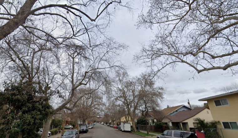
Philadelphia is waking up to a soggy start on Thursday, May 7, with light rain falling across the city and the thermometer at Philadelphia International Airport sitting at about 52°F. The wet start will not last all day, though. Showers are expected to taper off from north to south through the morning, with a mix of sun and clouds taking over by midday and a high near 66°F. Northwest winds should run around 5 to 10 mph and ease later this evening.
This Morning And The Commute
Lingering light showers should wind down by early afternoon, so the midday commute is expected to be noticeably drier, and visibility should improve through the late morning. North to northwest breezes will generally hover around 5 to 10 mph, with some pockets of stronger gusts still possible near the river and Delaware Bay. According to the National Weather Service Mount Holly, a few scattered showers could still pop up tonight, mainly north of I-78.
Weekend Outlook
Temperatures climb as we head into the weekend. Saturday is expected to top out in the upper 60s, with rain showers likely between about 8 a.m. and 2 p.m. After that window, showers and thunderstorms become more likely later in the day. Sunday should feel much warmer, with highs near 79°F and mostly dry conditions until a slight chance of afternoon showers after 2 p.m. Another round of rain is possible Sunday night into Monday. Widespread severe weather is not in the forecast, but forecasters note that a few stronger storms cannot be entirely ruled out, so timing will matter if you are planning to be outside.
Plan Ahead
If you have outdoor plans on Saturday afternoon, you may want to shift activities earlier in the day or line up an indoor backup, and definitely keep a rain jacket in the mix. Boaters should pay close attention to marine forecasts, as Small Craft Advisory-level gusts are possible early this morning and again Saturday in stronger southerly flow. For more context, see this earlier forecast.
Bottom line: look for a dry, mostly sunny Thursday afternoon after the morning drizzle, increasing rain chances on Saturday with some thunderstorms possible, and a warm, sunnier Sunday before showers make a comeback Monday morning. Keep an eye on updated forecasts over the next 48 hours, since the timing and coverage of any storms could still shift.


