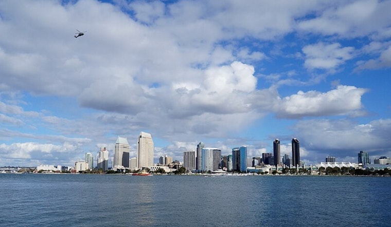
San Diego woke up Tuesday, May 12, 2026, to a gray start, with patchy fog along the coast, low clouds wrapped around bayside neighborhoods, and temperatures hovering in the mid-60s. Visibility dropped in parts of the county for the morning commute, and most areas are expected to stay mostly cloudy through the afternoon, with a high near 67°F.
Fog And The Marine Layer
A weak low sliding into Southern California is set to deepen the marine layer to roughly 3,000 feet overnight, pushing low clouds farther inland and keeping patchy fog in play before 11 a.m. Tuesday. That thicker marine layer will hold coastal and valley highs below inland temperatures, with generally light southwest winds this afternoon.
Forecasters say Wednesday should be brighter but also breezier, with highs near 69°F and gusts up to about 20 mph. Over the water, no hazardous marine conditions are expected through Saturday, according to the National Weather Service San Diego.
Commuter And Travel Notes
Morning drivers and early fliers are the most likely to feel the impact, with slower conditions where fog and low clouds are thickest. If you are heading out before late morning, build in a little extra time and check live traffic and incident maps before you go using Caltrans QuickMap.
Plan Ahead
Near the water, keep a light layer handy and plan outdoor plans for the afternoon, when inland areas often see some thinning of the clouds. A modest warm-up is expected Thursday and Friday as the marine layer begins to shrink, with sunnier afternoons likely by the weekend.


.jpg)