Tuesday, May 12, 2026
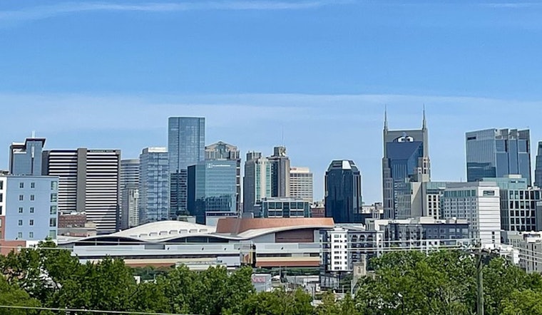
Nashville started the day on a crisp note, with clear skies and temperatures in the low 50s, but it will not stay sweater weather for long. Sunshine and light winds are set to drive a fast warm-up into the low 80s by afternoon, giving the city a stretch of classic spring-to-summer transition weather before a hotter weekend moves in.
Afternoon Warm-Up
Highs are expected to top out near 81F on Tuesday and hold in the low 80s on Wednesday, May 13, ahead of a more serious warm-up later in the week. Wednesday should be sunnier but also breezier, with west winds 515 mph and gusts up to 25 mph. By Saturday and Sunday (May 1617), highs are forecast to jump into the upper 80s to low 90s, and Monday may flirt with 94F, according to the National Weather Service in Nashville.
Small Rain Chances, Drought Persists
A weak front could squeeze out a few showers east of I065 on Wednesday, but most neighborhoods are likely to stay dry. The region is still running short on rainfall, so any spotty, light showers will not do much to ease the ongoing spring drought. For a deeper look at how dry it has been, see our earlier coverage for background (earlier forecast breakdown).
Commute And Outdoor Plans
Drivers may run into patchy valley or river-bottom fog during the early-morning commute before the sun burns it off, but the ride home should be smooth, dry, and sunny. If you are planning to hit the parks, patios, or ballfields this weekend, prepare for hotter afternoons: bring water, find some shade, and keep an umbrella handy for the slight chance of an afternoon storm on Saturday or Monday.


