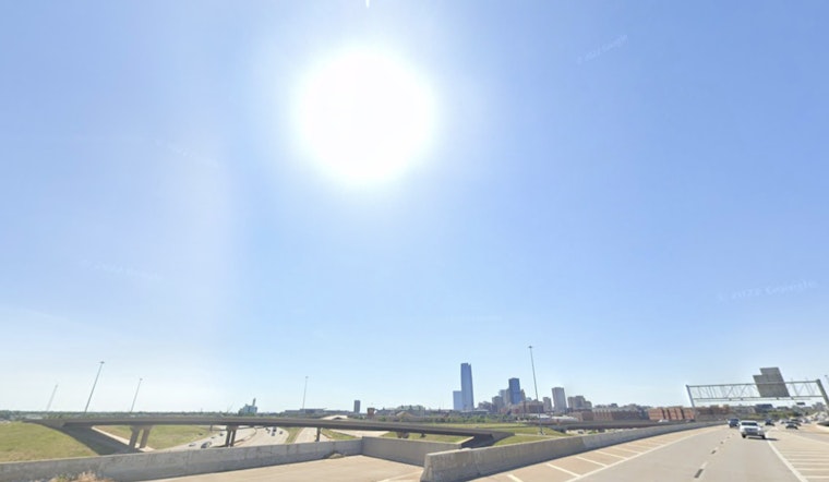
Oklahoma City woke up to clear skies and temperatures in the low 70s, but the cool start will not last long. A very hot Sunday, May 31, 2026, is on tap, with a forecast high near 98°F, heat index values pushing toward 99°F, and steady south-southwest winds around 15 mph, gusting up to 23 mph.
Afternoon Heat And Gusts
The scorchers arrive in the mid-to-late afternoon, when hourly readings climb into the mid-to-upper 90s across most of the metro. The city center is expected to hover near 98°F, while some western neighborhoods could briefly scrape triple digits. The forecast high may tie the May 31 record at Will Rogers World Airport, and gusty southerly winds will make it feel even hotter, according to the National Weather Service in Norman.
Small Risk For Isolated Severe Storms Tonight
There is only a small, roughly 10% chance that a few isolated storms will fire late Sunday afternoon into the evening along a developing dryline. If any storms do form, they could produce damaging winds and hail, but most of the Oklahoma City metro is expected to stay dry.
What This Means For Your Plans
Plan to take it slow outside during the hottest part of the day. Avoid strenuous outdoor activities in the afternoon, drink plenty of water, and check on older neighbors and children. If you need a cooler spot, the City of Oklahoma City advises calling 211 for cooling-center locations and other heat resources.
Looking Ahead
The heat hangs on Monday, June 1, 2026, with another high near 98°F and heat index values near 100°F. A boundary sagging south Monday night should bring a better chance of showers and thunderstorms into Tuesday, June 2, 2026. Temperatures are expected to ease back into the 80s by midweek as rain chances linger through the end of the week.


