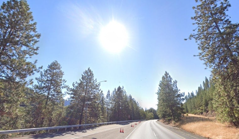
Portland started Wednesday, May 20, 2026, on the gray side, with mostly cloudy skies and about 54°F at Portland International Airport. The cloud cover should thin out around midday, giving way to a warm, mostly sunny afternoon and inland highs near 73°F. Light north-northwest winds will pick up as the day goes on, so exposed bridges and riverfront spots could feel breezier than the numbers on the thermometer suggest.
Afternoon Warm-Up
By midday, most inland neighborhoods should be sitting in the low 70s, while the riverfront and coast hang back in the low 60s. North-northwest winds are expected to run 3 to 9 mph, with gusts reaching around 18 to 20 mph this afternoon. Looking ahead, Thursday, May 21, is on track to be the hottest of the stretch, with inland highs near 85°F.
Forecasters are flagging a modest chance for Moderate heat risk on Thursday away from the immediate coast, so it is a good day to keep water and shade close during the warmest hours, according to the National Weather Service Portland.
Heat Safety
If you or someone you care for is vulnerable to heat, the next couple of days are worth planning for. Refill water bottles ahead of time, look for shade during the middle of the day, and try to avoid heavy exertion from late morning through early evening.
Local cooling resources and guidance are available from Multnomah County for people who need a cool place to be or some extra help. Before you head out, check the hours for libraries and community centers, and consider checking in on older neighbors or relatives who might need a hand.
Boaters and the Coast
A Small Craft Advisory is posted for the Columbia River Bar and some coastal zones this morning, with seas expected to run 6 to 9 feet through the week. Strong ebb currents combined with afternoon gusts make the Bar especially hazardous, so it is a good idea to delay open-water plans if you can and keep tabs on updated marine forecasts. Smaller boats may want to stick to shorter trips closer to shore and make sure a float plan is filed before heading out.
Weekend Outlook
The warm, dry pattern should hold through Saturday, with inland highs in the low 80s. By Sunday, temperatures ease back into the upper 70s, still comfortable but not quite as toasty.
Memorial Day, Monday, May 25, looks cooler, with rain likely and a high near 66°F, so outdoor plans may need a backup option. Forecasts could shift on the timing and how much rain shows up, so it is worth checking back over the weekend.


