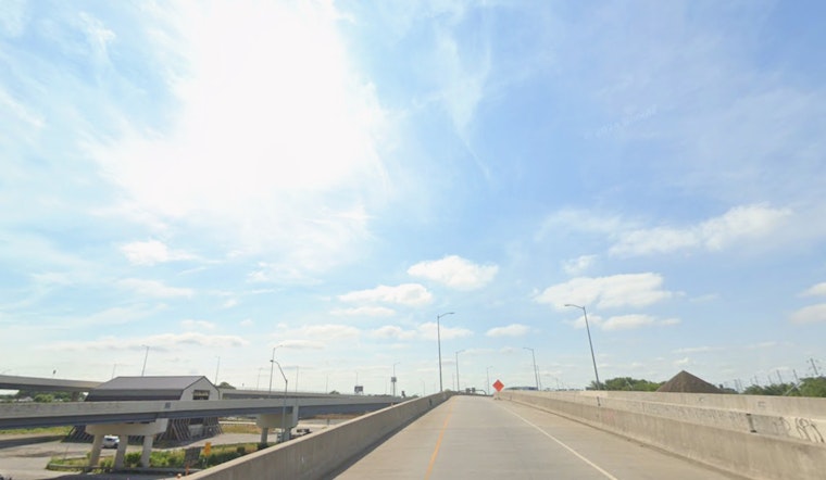
As of 5:35 a.m. Friday, May 8, 2026, Philadelphia was clear and about 52°F at Philadelphia International Airport with a light northwest breeze. The city gets a pretty pleasant start: expect a mostly sunny Friday with a high near 69°F and west winds of 5–15 mph, with gusts up to 30 mph possible late this afternoon. That gusty kick could make bridges and riverfront spots feel cooler and might send any unsecured lawn chairs scooting across the deck.
Saturday: Showers Roll In, Afternoon Thunderstorms On Deck
A mid-level disturbance is set to shove a surface trough through the region on Saturday, May 9, turning the weather from mild to messy. Rain showers are likely between about 8 a.m. and 2 p.m., with showers and thunderstorms becoming more likely between 2 p.m. and 5 p.m. Highs should land near 68°F with south winds of 5–10 mph and gusts up to 25 mph. Most spots are forecast to pick up around a tenth to a quarter inch of rain, with locally higher totals possible where storms run stronger. The National Weather Service Mount Holly has also issued a Small Craft Advisory for New Jersey and Delaware Atlantic coastal waters from 10 a.m. Saturday through midnight Saturday night (ANZ450>455), so ocean boaters should plan around it: National Weather Service Mount Holly.
Boaters And Weekend Plans
Coastal marinas and anglers should think twice about small-boat runs during the advisory window; crews can expect south winds of 15–20 kt and seas building into the 3–6 ft range in advisory zones. If you’ve got outdoor events slotted for Saturday afternoon, your safest bet is to move them earlier in the day or bring them indoors, and lock down the usual suspects like umbrellas, trash cans, and patio furniture. For background on Thursday’s drizzle and how this weekend’s system is lining up, check out Thursday drizzle breakdown.
Sunday And Early Next Week
Sunday, May 10 bounces back nicely, with mostly sunny skies and highs near 78°F across the region. Another wave is on track to bring rain showers Sunday night into Monday morning, followed by a cooler Monday with a high near 59°F and scattered showers possible through the day. After that, temperatures trend a bit below normal into midweek, with additional shots at showers later in the week.
Commute And Safety Notes
Friday’s gusty afternoon wind could buffet high-profile vehicles and make bridge crossings feel blustery, so take it easy if you’re driving near the river. On Saturday, expect pockets of reduced visibility and wet roads during shower periods; build in extra time for errands and keep an indoor backup ready for any outdoor plans. Check the latest local forecasts before heading out, and steer clear of small-craft outings in areas under advisory.


