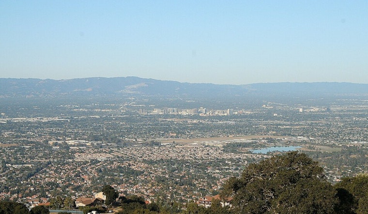
San Jose woke up under a blanket of low clouds and patchy fog Friday morning, with temperatures near 55°F at Mineta San José International and visibility knocked down in some low-lying neighborhoods. The marine layer is expected to clear inland by late morning, giving way to mostly sunny skies and inland highs close to 78°F this afternoon. The warmest spots will be farther from the immediate coast, where highs stay in the 60s and a cool onshore breeze makes a comeback in the evening.
Foggy Mornings, Sunny Afternoons
Expect areas of fog before 8 a.m., followed by mostly sunny conditions as light southwest winds shift to the northwest and turn gusty in some locations this afternoon. Highs should land in the mid 60s along the coast and climb into the upper 70s inland, with many neighborhoods topping out near 78°F. Forecasters say the marine layer will deepen into the weekend, which will bring generally cooler conditions and a small chance of drizzle or light rain into early next week. The office has posted coastal alerts, including a Beach Hazards Statement and Small Craft Advisories, and notes that seas could build to around 10 to 12 feet offshore. Beachgoers and boaters are urged to use caution, according to the National Weather Service.
Plan For Your Commute And Weekend Plans
For the early-morning drive, plan on leaving extra time wherever the fog hangs on. Most areas should clear by mid-morning, although evenings will turn cool and breezy again as the marine layer pushes back inland. We covered similar February fog-to-sun swings, and this update adds the weekend coastal advisories to keep on your radar.


