Philadelphia woke to a mild, breezy start on Wednesday, May 6, 2026, with temperatures sitting near 64°F at Philadelphia International Airport. A passing cold front is set to turn that into a soggy situation, with periods of rain and gusty southwest winds poised to slow the midday commute.
Afternoon Showers And Gusty Winds
Showers are most likely from about 10 a.m. through 5 p.m., with mostly cloudy skies and a high near 73°F. Southwest winds around 15 mph could gust to about 30 mph, and new rainfall totals of roughly a tenth to a quarter of an inch are on the table. A Small Craft Advisory is posted for Delaware Bay through the afternoon, and the chance of rain sits near 80%, according to National Weather Service Mount Holly.
It will not be an all-day washout, but when the rain moves through, it will be enough to slow things down, especially in open and exposed spots.
Evening Commute And Water Safety
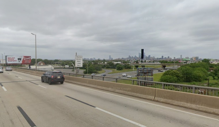
The front should slide offshore this evening, with winds turning west and backing off overnight as temperatures drop to around 51°F. Drivers should plan on slick roads and pockets of reduced visibility during the afternoon commute and early evening. Give yourself extra time, particularly if you are crossing higher bridges or moving through heavier downpours.
For a little context on this week’s windy pattern, check out the 35 mph gusts that whipped Tuesday’s commute.
Looking Ahead
Thursday is expected to turn drier and a bit cooler, with a high near 66°F. Mainly sunny skies should return on Friday, with highs in the mid to upper 60s. Another disturbance may move through on Saturday, bringing showers and a few thunderstorms, before a warmer Sunday that should top out near 80°F. No significant impacts are anticipated for most plans in the region, according to National Weather Service Mount Holly.


