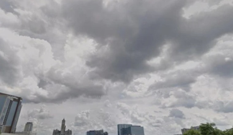
Nashville is waking up to a soggy start, with light rain, patchy fog, and temperatures in the upper 60s making everything feel a little extra slow. Visibility is reduced in some low-lying neighborhoods, and showers and thunderstorms are expected to ramp up through the morning. The heaviest activity should swing through before mid-morning, with scattered storms hanging around into the afternoon. Look for a high near 82 with a south-southeast breeze around 5 to 10 mph - in other words, a warm, wet commute.
What To Expect
Storms are most likely before 10 a.m., then trend toward scattered and hit-or-miss into the afternoon. Many spots could pick up a half-inch to three-quarters of an inch of new rain today alone. The National Weather Service Nashville notes that additional rounds of storms through the end of the week could bump storm totals into the 1 to 3 inch range, with some neighborhoods seeing more. That raises the risk for brief flooding in poor-drainage areas, and a few storms could kick out strong wind gusts later today. Heavy downpours can quickly chew up visibility and cause ponding on roads, especially under low clearances and in underpasses.
Timing Tightens, Flood Concerns Rise
Last Monday, Hoodline highlighted midweek storm chances, and the latest guidance narrows those windows while nudging flood concerns higher for some parts of town. Forecasters are not expecting a widespread severe weather outbreak, but they are keeping an eye on a few stronger storms with gusty winds and brief, intense downpours. Plan on daily rain and storm chances through Friday, with signs of a drier pattern trying to settle in by early next week.
Commute And Safety
If you are driving this morning, slow it down on wet roads and be ready for sudden drops in visibility. Never try to cross a flooded street or underpass. As the saying goes: turn around, don't drown. Anyone with outdoor plans this afternoon or evening should have a backup spot under cover and keep a charged phone or battery-powered radio handy in case watches or warnings are issued on short notice.
Quick Forecast At A Glance
Today: Showers and thunderstorms likely, high near 82.
Tonight: Low around 67 with a chance of more storms.
Wednesday–Thursday: Daily storm chances continue with highs in the low to mid 80s and periodic heavy downpours possible. A drier pattern is possible early next week.


