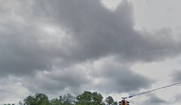
This morning, Friday, May 22, 2026, Memphis woke up to a murky scene, fog and mist hanging around with temperatures near 70°F and visibility around 4 miles. Showers and thunderstorms are expected to pick up through the morning and become more widespread this afternoon, with a high near 78°F.
Afternoon Storms And Weekend Outlook
Showers and thunderstorms are likely before midafternoon, then expected to continue off and on into the evening. Brief heavy downpours could drop a half to three quarters of an inch of rain in a short time, which means ponding on low-lying streets and sluggish drainage in some neighborhoods is on the table. There is a low, conditional chance of an isolated stronger storm this afternoon, mainly near the Tennessee River and in parts of northeast Mississippi. The larger concern through the holiday period is repeated rounds of heavy rain that could cause localized flooding if storms track over the same spots. For the latest timing and rainfall totals, see the forecast from the National Weather Service.
Travel And Holiday Plans
Memphis International Airport and major routes around the city are expected to be busier than usual for the Memorial Day stretch. The airport is projecting heavy passenger volumes across the holiday period, so travelers are urged to build in extra time and double check airline schedules before heading out. Officials recommend arriving at least two hours before departure and keeping an eye on status updates from Memphis International Airport.
How To Stay Ready
Keep a compact umbrella and a waterproof layer handy, take it slower on wet roads, and avoid driving through standing water. Make sure your devices stay charged, leave extra time for any outdoor plans, and keep an eye on local forecasts and alerts if you have Memorial Day events scheduled outside.


