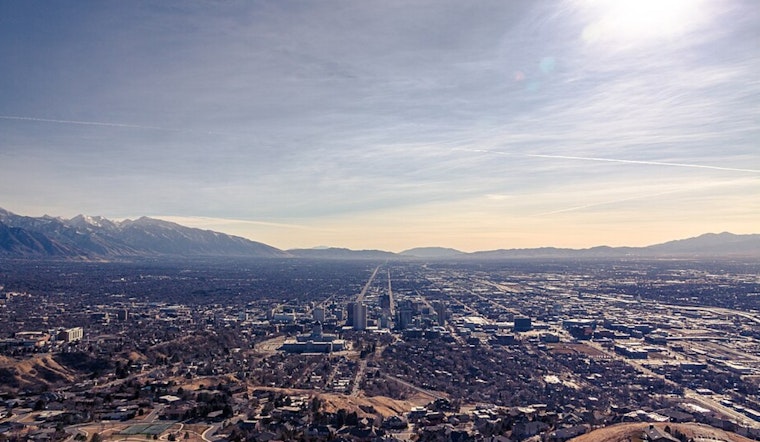
Salt Lake City is waking up on the chilly side of spring. Early Monday morning, May 18, it is cloudy and near 41°F at Salt Lake City International Airport as a cold Pacific storm pushes rain through the valley and snow into the high country. Rain showers are likely before noon with a high around 56°F, and a few isolated afternoon thunderstorms could pop up. Several outlying valleys are expected to dip below freezing overnight into Monday and again Tuesday morning, putting sensitive plants and unprotected outdoor plumbing at risk.
Freeze Warnings And Mountain Snow
The National Weather Service has issued Freeze Warnings for multiple Utah valleys and Winter Weather Advisories for the high country, with forecasters noting temperatures running 10–20°F below normal and snow levels falling toward roughly 5,000–6,000 feet. Accumulating, heavy wet snow is expected across the high terrain: roughly 6–12 inches in parts of the Wasatch and high ranges, a few inches in the Bear Rivers and lower Uintas, with locally higher totals on north‑facing slopes. Expect frost, slushy roads at higher elevations, and short‑lived snow on non‑paved surfaces. More details are available from the National Weather Service.
Travel And Commute Impacts
Wet roads and reduced visibility will likely slow the Monday commute, especially during the morning and evening rush, and mountain canyon roads may turn slushy with brief chain or traction device requirements on higher passes. At Salt Lake City International, lower ceilings and reduced visibility are possible in heavier bands of rain overnight into Monday morning, so travelers should check with their airline before heading to the airport. For background on how this system is set up, see how the late storm drenches valley, as per Hoodline.
What To Expect This Week
The steady rain should taper into Monday night with partly cloudy skies and lows in the upper 30s. Tuesday turns mostly sunny with highs in the mid‑60s, followed by a warming trend into the 70s by Wednesday. A slight chance of afternoon showers returns Thursday, but overall late‑week drying should nudge highs into the upper 70s and 80s by the weekend. In other words, it will feel wintry early in the week and summery by the end, so keep the layers handy.
Protect tender plants, drain or insulate exposed hoses and taps, and give yourself extra time on wet roads. Check the National Weather Service and local road agencies for any later advisories before heading into the mountains.


.jpg)