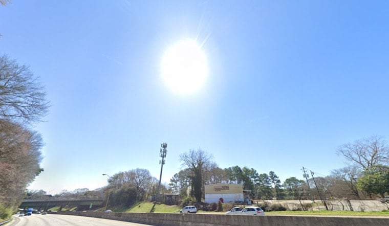
Atlanta woke up to clear skies and noticeably drier air on Thursday, June 4, 2026, with morning readings in the low 60s at Hartsfield-Jackson and an afternoon high expected to climb into the low 80s. With east winds under 5 mph and lower dew points, it should feel mild and comfortable for just about any outdoor plans.
Today And Friday
Sunny conditions are forecast through Friday, with daytime highs in the low to mid 80s and overnight lows in the upper 50s. East to southeast winds will stay light, and no watches or warnings are in effect across the metro this week. Forecasters at the National Weather Service in Peachtree City say the pattern should remain dry through the end of the week, with pleasant dew points making it feel less like the sticky summer weather that will show up later in the month.
Weekend Outlook
Moisture returns by the weekend, and diurnally driven showers and isolated thunderstorms are most likely beginning Sunday, June 7, 2026. Rain chances increase into Monday and Tuesday, so it is wise to line up backup options for outdoor events starting Sunday and into early next week. While widespread severe weather does not look likely in this forecast, any storm could still produce brief heavy downpours and lightning.
What This Means For Commuters And Plans
Make the most of the dry window today and Friday for errands, outdoor markets and open-air events, but pack a lightweight rain layer if you will be out on Sunday. If you have large gatherings or travel scheduled for Monday, June 8, check updated forecasts before you go. Hoodline ran a piece about the earlier storm threat this week for context, and you can read that coverage on the earlier storm threat this week. Short-lived heavy rain can reduce visibility quickly on Atlanta roadways, so keep an eye on short-term updates if you are traveling.


