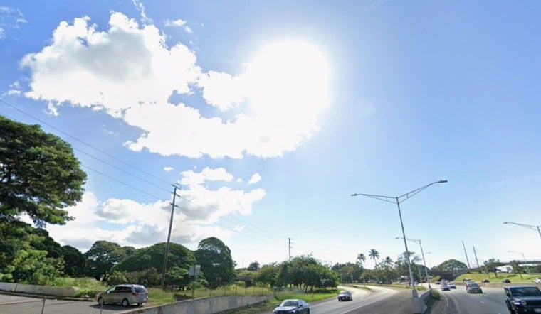
Honolulu is serving up classic early-summer weather on Saturday, June 13, 2026, with mostly sunny skies, dry conditions across most neighborhoods and highs warming into the mid‑80s. Light northeast winds are keeping things relatively comfortable, but the ocean has other plans. Peak monthly high tides, pairing with a large southerly swell pushing into the islands, are raising the odds of isolated minor coastal flooding at late‑afternoon and early‑evening high tides through Tuesday evening, June 16, 2026. Expect occasional saltwater overwash at normally dry beaches, boat ramps and low‑lying coastal roads, especially along exposed south and west shores. If you live near the water, move vehicles and valuables to higher ground and steer clear of coastal roads around high tide.
Coastal Flood Statement
According to the National Weather Service Honolulu, a Coastal Flood Statement is in effect calling for isolated, minor coastal flooding during daily peak tides through Tuesday evening. Vulnerable low‑lying roadways, docks and boat ramps are the most likely spots to see saltwater creeping in, and some minor beach erosion is possible in exposed areas. Forecasters point to peak monthly tides combined with water levels running higher than predicted as the drivers behind the elevated risk.
Surf And Marine Outlook
A large long‑period swell from the southeast is expected to start filling in Sunday and to peak Sunday night into Monday, pushing surf higher along south and west facing shores. Forecasts indicate south‑shore surf could reach the upper end of advisory levels and, at the peak, approach warning levels at some locations. Boat operators should plan for rougher seas and secure small craft, and lifeguards may post advisories at popular beaches during the height of the swell.
Timing And Safety Tips
Daytime highs through early next week are expected to hold near 85°F, with overnight lows around 73°F. Northeast winds will strengthen Sunday into Monday, with gusts up to roughly 20–25 mph in exposed areas. Avoid driving through flooded roadways, move valuables to higher ground and secure small boats and beachfront gear before high tide, since saltwater can cause lasting damage to vehicles and docks. If you are planning evening beach visits, allow extra time for possible detours and follow any county or lifeguard closures.
More Info
For context on recent tide and trade‑wind impacts, see our earlier coverage. Monitor National Weather Service Honolulu and local emergency channels through Tuesday for the latest updates and any changes to advisories.


