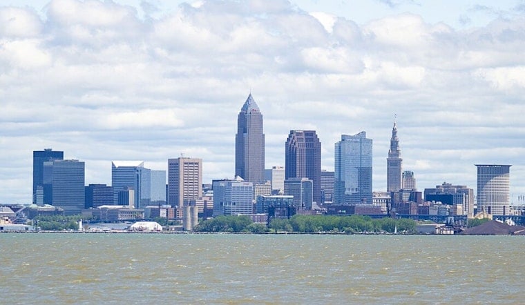
Cleveland starts the week on a mellow note: mostly cloudy and cool early Monday, around 60°F, with a light northwest breeze drifting in off Lake Erie. Skies are expected to brighten to mostly sunny this afternoon, with highs near 72°F, setting up a pretty pleasant day before a wetter, windier stretch of weather in later this week. It is a solid day for outdoor plans, but it is worth keeping an eye on midweek forecasts.
Morning And Afternoon
A stray shower could sneak through before 7 a.m., but most neighborhoods should see a good deal of sun later, with highs around 72°F. Northwest winds around 7 to 10 mph this morning are forecast to relax and shift tonight, with lows near 59°F. According to NWS Cleveland, today stays on the lighter side ahead of a stronger system arriving later in the week.
Wednesday Night Into Thursday Severe Risk
Forecasters have highlighted a Slight Risk of severe storms from Wednesday night into early Thursday, June 17 to 18, mainly along and west of I-77. A broader Marginal Risk stretches east toward the Northeast Ohio and Northwest Pennsylvania line. Storms could pack damaging wind gusts, commonly 30 to 40 mph and briefly higher, along with heavy, training downpours that boost the chance of localized flooding. The Weather Prediction Center has also flagged an elevated chance of excessive rainfall with this system; check the latest outlook from the Weather Prediction Center.
Lake And Commute Notes
Boaters are urged to steer clear of Lake Erie late Wednesday into Thursday as southwest winds build to around 20 to 30 knots and waves could top 6 feet, with open-water seas possibly nearing 10 feet. The strongest non-thunderstorm gusts are expected on Thursday afternoon, and a Wind Advisory may be issued if current trends continue. Plan on some extra travel time midweek, secure loose outdoor items, and look at moving outdoor events indoors if they land on June 17 or 18.
We will update this space if watches or warnings are posted. Keep local alerts enabled and phones charged for midweek updates. For ongoing details, consult the NWS and regional forecasts as the system sharpens later this week.


