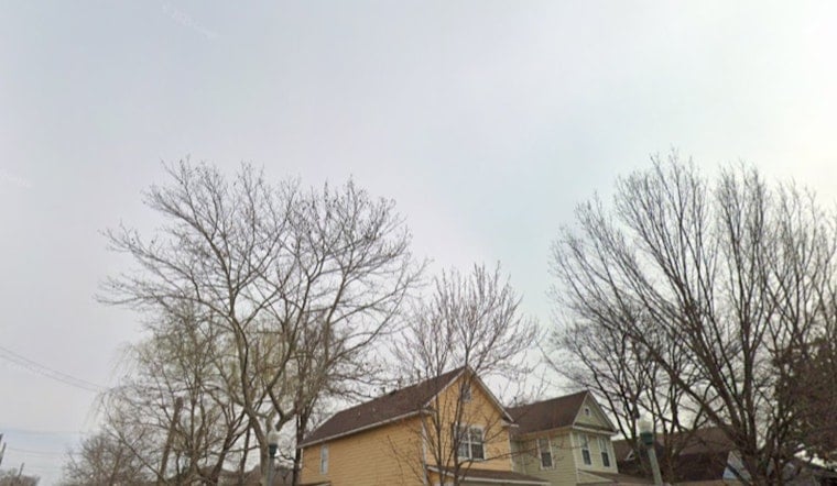
Clouds are hanging over Washington, D.C., this morning, with temperatures in the mid-60s at Reagan National and a mild, muggy feel that will flip to a warmer afternoon. Skies should break into partial sun, highs land in the low 80s, and southerly winds pick up through the day. There is a slight chance of a brief shower overnight, but the real headline is the surge in heat and humidity late in the week, as reported by the National Weather Service.
Afternoon Breeze and a Mild, Gusty Commute
Tuesday stays on the breezy side, with south winds generally 3 to 14 mph and gusts up to about 23 mph, so cyclists and pedestrians should be ready for some pesky crosswinds this afternoon. Most neighborhoods should top out near 80 to 84°F under a mix of mid and high clouds. With the combination of wind and pockets of sun, rooftop decks and waterfront hangouts will feel noticeably warmer than the numbers suggest.
Wednesday: Sticky Air, Showers and a Few Storms
By Wednesday, a warm front lifts through and drags in higher humidity along with a growing chance of showers and thunderstorms, especially in the afternoon. Forecast guidance keeps highs in the upper 80s with scattered storms in the mix. A few of those could drop heavy rain and kick up strong gusts, so outdoor plans later in the day should come with a backup option. If you are heading to parks or events, it is worth checking quick radar updates now and then.
Late-Week Heat and Spotty Strong Storms
Heat really builds Thursday and Friday, with highs likely climbing into the mid to upper 90s and heat indices pushing into the upper 90s to around 100 on both days. Forecasters at the National Weather Service flag a conditional threat for stronger, more organized storms on Thursday, with a more likely storm chance on Friday as a front gets closer. That setup could bring short bursts of heavy rain, lightning and damaging gusts, so plan outdoor activities with a quick route indoors if storms pop. Brief power outages and interruptions to outdoor events are possible in the stronger cells.
Boaters, Tides and Cooling Options
Out on the water, mariners should expect gusty southerly winds and choppy conditions on the Potomac and upper Chesapeake, with small craft advisories likely across parts of the local waters through Wednesday. The same prolonged southerly flow may nudge tidal anomalies northward, raising the risk of minor tidal flooding in vulnerable low-lying shorelines. On land, anyone needing relief from the heat can turn to the District's list of cooling centers and related heat resources via D.C. DHS.
What To Do Now
Make the most of the milder Tuesday, but use it to prepare for the hotter, steamier stretch coming up. Shift strenuous outdoor work to mornings, keep the water bottle close, and line up backup plans for any outdoor gatherings. Before heading out, check the latest updates from the NWS Baltimore/Washington and keep an eye out for any watches or advisories as the pattern evolves.


