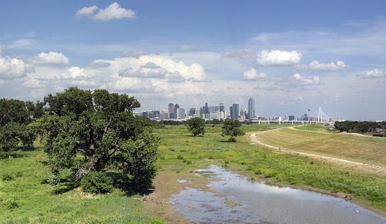
Today, Dallas woke up to mostly cloudy skies and thick, sticky air this morning, with temperatures in the upper 70s and dew points hanging in the low 70s. As the clouds thin by late morning, the city is headed for a hot, humid afternoon, with highs near 915F and heat-index readings creeping toward 985F.
Afternoon Winds Pick Up
South winds are expected around 10 to 15 mph, with gusts up to 25 mph during the afternoon, which will only add to the muggy feel. Those gusts could rattle unsecured patio furniture and awnings, kick up choppy water on area lakes and ponds, and nudge high-profile vehicles around on the freeways. The strongest gusts should line up with peak heating later in the day. Forecast details are from the National Weather Service Fort Worth.
Small Rain Chance Then Warming Through The Week
Isolated showers are possible mainly east of I-35 and south of I-20 today, but coverage is expected to stay near 55 percent, so most neighborhoods will stay dry. A drying trend settles in by midweek, with highs climbing into the mid-90s by tomorrow, and into the upper 90s (near 985F) by Thursday and Friday. A slight chance for scattered storms creeps back in late in the week.
How To Stay Comfortable This Week
With heat-index values approaching 1005F in the afternoons, it is a good week to treat the outdoors like a part-time job. Schedule strenuous work for morning or evening, drink plenty of water, and keep an eye on elderly neighbors and pets. If you have outdoor plans heading into the weekend, stay tuned to updated forecasts and local forecasters in case storms try to crash the party.


