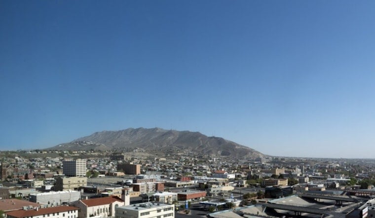
El Paso woke up warm and ready to roast. The KELP weather station logged about 82°F at 5:35 a.m. MDT on Wednesday, June 17, and the heat is only getting started, with afternoon temperatures expected to climb into the low 100s. Overnight lows are forecast to hang in the upper 70s, which means limited relief after dark for anyone without air conditioning.
Afternoon Heat And Where It Matters
According to the National Weather Service, a Heat Advisory is in effect from noon to 9 p.m. MDT for parts of eastern and central El Paso County. Highs are expected near 103°F, with heat-index values pushing into the upper 90s. West-northwest winds around 15 to 20 mph, with gusts into the mid 20s, will make outdoor chores feel even hotter and increase the risk of heat-related illness for outdoor workers and vulnerable neighbors.
Evening Gusts, Storms And Dust
There is a slight chance of showers and isolated thunderstorms this evening between roughly 8 and 9 p.m., mainly over the New Mexico Bootheel and nearby mountains. Any storm outflow could shove strong gusts and blowing dust into the lower elevations. Motorists on I-10 west of Lordsburg should be ready for sudden drops in visibility and abrupt wind shifts, and outflow gusts in and near terrain could briefly top 45 to 60 mph.
Plan For The Holiday Weekend
Triple-digit heat is set to linger through the weekend. Juneteenth on Friday looks sunny and hot, with highs around 101°F, and early next week is trending even warmer toward the mid 100s. Nighttime will not offer much cooling, so it is smart to schedule outdoor work and events for earlier in the morning or later in the evening.
How To Stay Safe
Hydrate often, skip strenuous activity during the hottest part of the day, and check on elderly or medically vulnerable neighbors and pets. For residents without air conditioning, the City of El Paso lists public cooling options and other heat resources. The National Weather Service page has the latest alerts and forecast updates.


