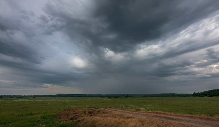
A fast-moving line of severe thunderstorms barreled across northeastern North Carolina on Saturday evening, putting communities along the Albemarle on high alert. Forecasters warned the storms could throw down nickel-size hail and pack damaging straight-line winds strong enough to snap branches and take out power lines. Local weather bulletins even called out smaller waterfront spots by name, from Cape Colony over to Snug Harbor, as the storms marched east.
According to The Charlotte Observer, the National Weather Service office in Wakefield issued a severe-thunderstorm warning in the mid-afternoon and set it to expire about an hour later, around 5:15 p.m. The Observer’s automated NC Weather Bot reported that the warning covered Bertie, Chowan and Perquimans counties and flagged the potential for hail up to 0.88 inches in diameter and wind gusts up to 60 mph. The bot relayed NWS language urging people in the path of the storm to seek shelter immediately.
The National Weather Service Wakefield office advised residents, “For your protection move to an interior room on the lowest floor of a building,” and warned that trees and powerlines could take a hit as the storms rolled through. The office also asked people to report severe weather by phone or through its social media accounts so forecasters could fine-tune warnings in real time. Radar updates through the afternoon showed the storm cell picking up speed as it pushed east across the Albemarle Sound region.
Automated alerts spotlighted Cape Colony around 4:40 p.m. and Snug Harbor around 5 p.m., then ticked off a longer list of smaller communities that could see the worst of it: Holiday Island, Merry Hill, Drummond Point, Edenhouse, Saint Johns, Macedonia, Hancock, Somerset and Midway. The News & Observer noted that a broader severe-thunderstorm watch stayed in place for much of northeast North Carolina into the evening, with officials cautioning that heavy rain bands could create temporary travel hazards and localized flooding on low-lying roads.
Lightning and what’s at stake
Lightning safety remains a top concern with summer storms, even when the focus is on hail and wind. The National Weather Service estimates roughly 25 million lightning strikes hit the United States each year, and lightning is blamed for about 20 fatalities annually. The agency’s guidance on its National Weather Service lightning safety page reminds people to steer clear of corded phones and plumbing during storms and to wait at least 30 minutes after the last rumble of thunder before heading back outside. While lightning deaths are relatively rare, officials warn that many injuries happen when people underestimate how far bolts can reach from the main rain core of a storm.
How to stay safe now
For anyone in the warning area, the basic advice still applies: get indoors, stay there and give the windows some space. Move to an interior room on a lower floor if you can, unplug sensitive electronics if it is safe to do so and bring in or secure loose outdoor items that could turn into airborne projectiles in strong gusts. Stay tuned to local alerts, weather radio or the ReadyNC state portal for updates on the storm and any power outages. ReadyNC also offers preparedness checklists and a mobile app that delivers real-time alerts.
If you have to be on the road, officials advise slowing down, switching on headlights and steering clear of standing water. Heavy downpours can quickly create flash-flood conditions and raise the risk of hydroplaning, especially on low-lying or poorly drained stretches of pavement.


