Boston woke up in a bit of a mood Saturday, June 27, 2026, with pockets of patchy fog draped over low-lying neighborhoods and the harbor. Visibility took a hit in those spots, but the gray start is expected to be short-lived. By mid-morning, forecasters say the fog should lift, giving way to mostly sunny skies and a comfortable afternoon high near 73F across most of the city.
Morning Fog, Sunny Afternoons
The National Weather Service is calling for patchy fog before 9 a.m. Saturday, June 27, 2026, followed by mostly sunny conditions, light northeast winds, and highs near 73F. Immediate coastal areas may hang a few degrees cooler. Any spotty, brief showers should stick mainly to the south coast and are not expected to bother the wider metro. There are no watches or warnings in effect this morning. For full forecast details and marine or aviation guidance, see the National Weather Service Boston/Norton.
Heat Builds Midweek
The comfortable weekend will not last for long. A warming trend starts Sunday and ramps up into next week: highs are expected to climb into the mid-70s Monday, jump into the 80s Tuesday and Wednesday, and could reach the low-to-mid 90s by Thursday. Humidity will rise along with the temperatures, and the chance for scattered afternoon showers or a few thunderstorms increases later in the week. If you have outdoor plans midweek, it is a good idea to shift strenuous activities to the cooler morning hours and keep water handy.
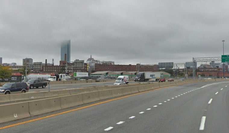
Plan For Commutes And Cooling
Morning fog may slow the commute in some areas today, so build in a little extra travel time if you are heading through the harbor or river corridors. Sea breezes should keep neighborhoods right on the water a bit cooler, while inland spots warm up faster. If temperatures push into the 90s later in the week, the City of Boston maintains cooling resources and can open community cooling centers during heat emergencies. Check out Boston's keeping-cool resources for locations and practical tips.


