Boston rolled into Monday on the chilly side, with a cool, partly cloudy start, temperatures mainly in the upper 40s to low 50s, and a steady northeast breeze. A brief, spotty shower is possible before mid-morning, but skies are expected to clear to mostly sunny with a high near 56°F. Onshore flow will keep waterfront neighborhoods a few degrees cooler than inland Boston, so layers are still the smart play for the commute.
Today's Forecast
A slight chance of rain showers is expected before 10 a.m. Monday, then the clouds back off and mostly sunny conditions take over with a high near 56°F. Northeast winds of 8 to 14 mph are in the cards, along with a roughly 20% chance of precipitation; any new rainfall should stay under a tenth of an inch. These details come from the National Weather Service.
Afternoon Winds And The Harbor
Breezy conditions will be most noticeable along the waterfront, where gusts around 20 mph are possible this morning. Local waters were under Small Craft Advisories early Monday and seas are expected to gradually settle down through the day, but ferries and small boats should still plan for some choppy patches. If you have plans on the harbor, secure loose items on deck and allow a little extra time for crossings.
Warmup Later This Week
Temperatures rebound quickly as the week goes on. Tuesday, June 2, 2026 is expected to warm to about 72°F with another slight chance of afternoon showers or an isolated brief storm. Wednesday, June 3, 2026 looks mainly dry and sunny with highs near 69°F, while Thursday and Friday (June 4–5, 2026) are projected to climb into the upper 70s to around 80°F inland.
Forecast confidence drops a bit late in the week, since some guidance brings a weak offshore low a little closer to the coast. If that scenario plays out, eastern suburbs could pick up some extra showers that would trim back sunshine and briefly cap temperatures.
Commute Notes
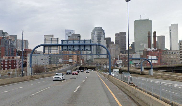
Riders should check MBTA alerts before heading out - scheduled maintenance and service changes run into early June and can still shuffle travel plans. On foot or bike, keep an eye out for damp sidewalks this morning and gusty crosswinds near exposed bridges and waterfront paths.
Bottom Line
Plan on a light rain jacket and a cooler coastal commute to start the week, then look forward to a noticeably warmer, sunnier stretch by midweek. We will post updates if the offshore system wobbles closer to the coast and alters the late-week outlook.


