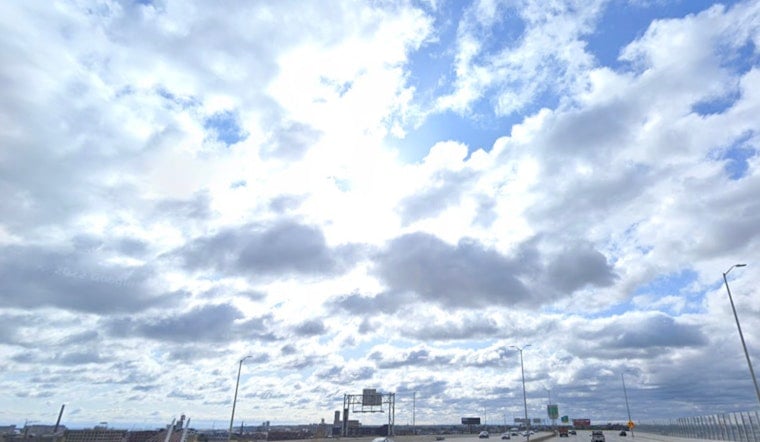
Milwaukee woke up to a crisp, clear Wednesday, with thermometers lingering in the low 50s at area stations. The city gets one more mostly sunny, comfortably mild day with a high near 76°F before the weather flips the switch later this week. A stronger push of southerly air on Thursday is expected to drive inland highs into the upper 80s while building humidity primes the atmosphere for showers and thunderstorms from late Thursday night through the weekend.
Afternoon Warmth And Lakeshore Differences
The National Weather Service is calling for a high near 76°F today, followed by a jump to about 89°F on Thursday as southwest winds gain some muscle. A lake breeze should still keep waterfront neighborhoods noticeably cooler into the afternoon, so it will not feel quite as steamy right on the shoreline. Winds remain on the light side today, then increase to around 5 to 15 mph Thursday with gusts in the mid-teens. For the full day-by-day breakdown and any tweaks to the timing, check the latest from the NWS Milwaukee.
Thunderstorm Risk Late Thursday Through Saturday
Showers and thunderstorms are most likely from late Thursday night into Friday, with additional rounds possible into Saturday. Forecasters caution that some storms could organize into a line or cluster, which would bring strong wind gusts and locally heavy rainfall. If storms congeal into a solid line overnight Thursday, damaging straight-line winds would be the main concern. If they stay more scattered and isolated, pockets of heavy downpours and brief hail are the bigger issue. This tightens up what we first flagged June 1 about a cool start and a stormy, steamy finish.
Lake And Boating Impacts
Nearshore waters of Lake Michigan are expected to see increasing southerly and southwest winds Thursday afternoon. Combined with building waves, mainly north of Port Washington, that will make conditions rough for small craft. A Small Craft Advisory is already posted for parts of the nearshore lake, so recreational boaters should rethink Thursday afternoon and evening outings and review the latest marine forecast before leaving the dock. If you have evening plans along the lakefront, keep an eye on short-term updates in case conditions turn choppy faster than expected.
Plan Ahead
If you are scheduling outdoor events late Thursday or Friday, consider shifting activities earlier, or line up an indoor backup in case storms roll in overnight and linger into Friday. Keeping phones charged for weather alerts is a smart move, and a quick forecast check before any commute or trip could save you a headache. Lightning and gusty winds could briefly disrupt travel and knock around power lines, even if the storms move through quickly.


