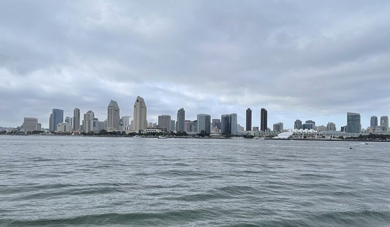
San Diego woke up today under a thick blanket of gray, with cool air and highs only expected in the low 70s. At 5:35 AM, the KSAN station reported cloudy skies and roughly 64°F, as an unusually deep marine layer settled in for the weekend. A large Pacific low is pushing stronger onshore flow toward the coast, deepening the marine layer. While many neighborhoods should break into sunshine by mid- to late morning, desert slopes and passes are already feeling the punch of strong gusts with wind advisories in place.
Afternoon Winds Pick Up
Breezier conditions are on tap this afternoon, with highs near 72°F and southwest winds starting around 0–10 mph before ramping up over the slopes and deserts. The National Weather Service has Wind Advisories posted through tomorrow for the San Diego County deserts and the San Gorgonio Pass, warning that peak gusts could hit 50–65 mph below the Banning area, where a 59 mph gust was reported this morning at Whitewater. Strong, dry westerly winds will push near-critical fire weather conditions in parts of the deserts and mountain slopes, and mariners should be ready for hazardous small-craft conditions near San Clemente Island. For official timing and local details, check NWS San Diego.
Foggy Mornings, Sunny Afternoons
Coastal neighborhoods can bank on a classic June-gloom setup: low clouds, cool and damp mornings, then clearing for afternoon sun with highs in the low 70s. The marine layer is deeper than usual this weekend, so patchy drizzle may creep inland Sunday morning west of the mountains, leaving roads damp for early commutes. Inland valleys will stay cooler than seasonal averages into next week, with gradual warming expected later.
What To Bring And How To Plan
Plan on securing lightweight patio furniture and tying down anything that might go airborne this afternoon, and be ready for open-bed trucks and RVs to feel those gusts on inland roads and mountain passes. If you are heading out on the water, avoid the area near San Clemente Island this evening or check local marine forecasts, and coastal drivers should watch for reduced visibility in pockets along the foothills. A light jacket will come in handy for mornings and late evenings, with nighttime lows only dipping into the low 60s through midweek.


