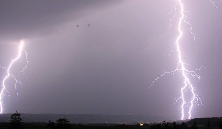
A late-night thunderstorm rolled into Halifax County on Friday with the kind of punch that can ruin a quiet evening, prompting a National Weather Service alert for strong winds and hail across the area.
Radar tracked a strong cell near Roxobel that was capable of whipping up wind gusts to 55 mph and dropping nickel-sized hail, with the warning zone stretching to Scotland Neck and nearby communities and remaining in effect into the late evening. According to the Raleigh News & Observer, the alert went out at 10:13 p.m. and was set to run through 10:45 p.m., with the storm crawling east at about 15 mph. The report also noted a hail threat of roughly 0.88 inches in diameter and cited forecasters urging anyone outdoors to move inside a building until the storm passed.
Storm details from the National Weather Service
Forecast products from the National Weather Service flagged the main hazards as strong wind gusts and hail indicated by Doppler radar. Those conditions can be enough to snap smaller tree limbs, knock down branches and send unsecured outdoor items tumbling, which in turn can trigger brief power outages around the county.
Safety tips
Forecasters with the National Weather Service advise heading for sturdy shelter as soon as thunderstorms approach and avoiding open areas while the storm is overhead. Once indoors, they recommend staying away from windows and putting off the use of corded phones and electrical equipment until the lightning threat eases. To cut the risk from lingering lightning, officials say to wait 30 minutes after the last rumble of thunder before heading back outside.
Residents are urged to keep an ear on local broadcasters and official channels for any follow-up alerts or extended warnings. The latest statements and warning updates from the Raleigh office are posted on the National Weather Service site.


