St. Louis woke up Sunday to mostly cloudy skies and about 73°F at 5:40 a.m. CDT on June 28, but the real story is what comes next. A dangerous heat wave kicks off today, with daytime highs headed for the mid to upper 90s and nights staying stubbornly muggy. Residents should expect very little overnight relief and limited rain chances early in the week.
Brutal Heat Locks In
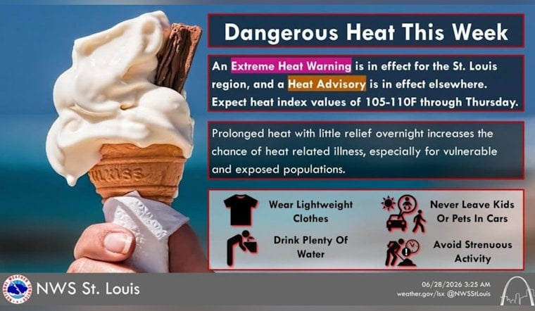
According to the National Weather Service, an Extreme Heat Warning is in effect from noon Sunday, June 28, through 12:00 a.m. CDT Friday, July 3, with heat index values potentially reaching 110°F. Highs are expected to be near 94°F on Sunday and climb into the mid to upper 90s early next week, while overnight lows in the mid to upper 70s will keep conditions uncomfortably warm even after dark.
Rain Tease, Not Rain Relief
There is a slight chance of showers and a few thunderstorms early Sunday morning, but a strengthening ridge of high pressure should keep most days dry and sunny. Later in the week, some brief, spotty afternoon pop up storms are possible, yet for most neighborhoods the primary hazard will be the dangerous heat rather than heavy rain.
Cooling Options And Heat Safety
If you need air conditioning, the city maintains a neighborhood list of cooling centers; check hours before you go at the City of St. Louis. Public health officials recommend drinking plenty of fluids, avoiding strenuous outdoor work between about 11 a.m. and 6 p.m., never leaving children or pets in vehicles, and checking on older neighbors and anyone without access to air conditioning.


