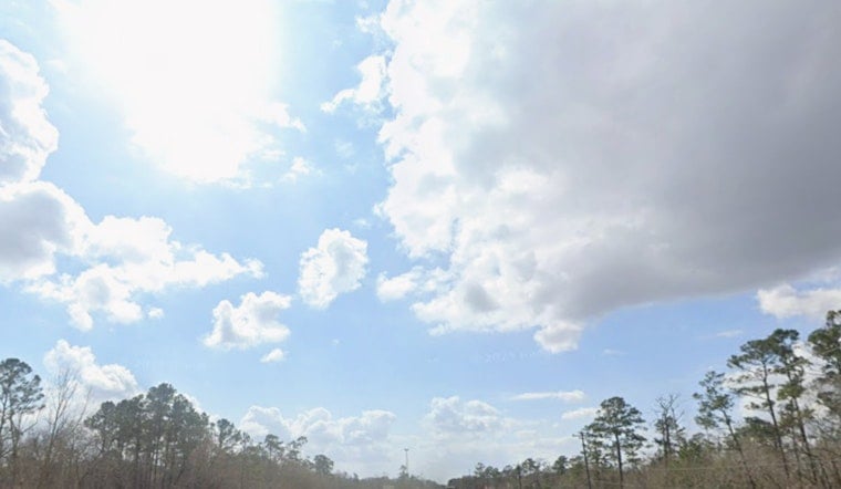
Houston woke up Friday feeling more like a steam room, with a wall of Gulf moisture parked overhead, driving temperatures into the upper 80s and wrapping the city in thick, soupy air. That same tropical pipeline is expected to fire off rounds of sudden, heavy downpours that could trigger flash flooding in low-lying neighborhoods and along bayous. Along the Gulf coast, beachgoers and boaters are looking at choppy seas and a higher-than-usual rip-current risk.
Local meteorologists had this setup circled early and are warning residents to be ready for fast-forming storms during the hottest part of the day. As reported by Click2Houston, a steady feed of tropical moisture will keep scattered storms in play through the weekend.
What forecasters are watching
The National Weather Service Houston/Galveston office expects scattered to widespread showers and thunderstorms through the weekend, with generally 1 to 2 inches of rain across most spots and isolated higher totals possible. Those amounts, especially if they fall quickly, can produce urban and small-stream flooding, according to the National Weather Service Houston/Galveston. Forecasters there are also flagging a high rip-current risk for Gulf-facing beaches and warning that storms repeatedly hitting the same neighborhoods could quickly overwhelm drains and bayous.
Rain outlook and technical risk
The Weather Prediction Center has placed parts of the Upper Texas coast under a marginal risk for excessive rainfall, a technical label that highlights the potential for localized flash flooding if intense storms train over the same corridor. The Weather Prediction Center notes that marginal risk in its Day 1 discussion and urges local forecasters to watch how showers organize this afternoon.
Tropics check
The National Hurricane Center is tracking a broad area of low pressure over the Bay of Campeche that could funnel additional moisture into the western Gulf. Current guidance keeps the odds of tropical cyclone formation low for now. As reported by FOX10/WALA, that system is expected to stay mostly south and west of the northern Gulf coast, although its moisture could still beef up some of the heavier rain pulses here.
Why Houston floods fast
Houston’s geography does not do it any favors. The region’s flat terrain, clay-heavy soils and patchwork drainage mean short bursts of intense rain can quickly pond on streets, flood underpasses and push bayous into rapid rises. Local reporting and analysis show that repeated summer downpours, not just a single landfalling storm, are often the culprit in urban flood events, per the Houston Chronicle.
How to stay ready
Officials say basic steps still matter: avoid driving through standing water, move vehicles off streets you know tend to flood if you can, and keep your phone charged along with a reliable way to receive emergency alerts. The National Weather Service recommends signing up for local wireless alerts and keeping an eye on county flood-control resources. For current watches and warnings, see NWS Houston/Galveston.
Expect updates as radar and satellite data evolve. If watches or warnings are upgraded, there may only be a short window to react. For the morning video forecast that first laid out the threat, see Click2Houston.


