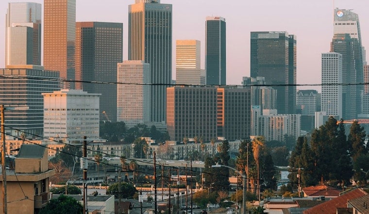
Downtown Los Angeles started Saturday, June 27 under a cool, stubborn marine layer, with temperatures in the mid 60s and patchy fog hanging near the water. Expect a mostly cloudy day with a high around 75°F and an overnight low near 60°F. South winds across the basin should stay light to moderate around 5 to 10 mph, with stronger gusts possible away from the immediate coast.
Morning Fog And Slow Clearing
Patchy fog is likely before 5 a.m. Saturday, and low clouds could cling to the coast well into the afternoon, according to NWS Los Angeles/Oxnard. Forecasters there note a deep, widespread marine layer that will keep temperatures running a few degrees below normal through at least Thursday, so a quick burst of sunshine is not in the cards.
Winds, Advisories And Boating
Gusty onshore winds are expected this afternoon and evening, with Wind Advisories posted for some interior mountains, the Antelope Valley and southwest Santa Barbara County. Small craft advisories are also in effect for portions of the offshore waters into the weekend, meaning boaters should be ready for choppy, short-period seas and plan trips with extra caution.
What This Means For Your Weekend
Layer up for coastal errands, build in extra time for any morning driving where fog may cut visibility, and secure loose outdoor furniture in exposed canyon or foothill neighborhoods. For context on this recurring onshore pattern, see our earlier coverage on how the gloom goes by lunch.


