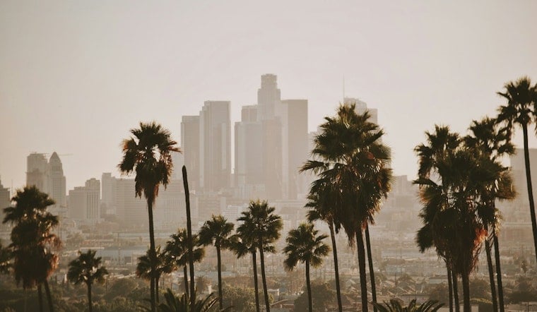
If you rolled out of bed in Downtown Los Angeles on Monday, June 29, 2026, you woke up under a solid blanket of low clouds and temperatures in the low 60s. Afternoons will not exactly be scorching either, with highs expected to top out around 75°F today while the marine layer rebuilds each night and keeps coastal and low-lying neighborhoods on the cooler side. Forecasters expect a cooler-than-normal stretch through Thursday, followed by a modest warmup heading into the end of the week.
Foggy Mornings, Sunny Afternoons
Most mornings will start off gray and, at times, downright murky. Patchy drizzle could pop up across foothills and coastal canyons before midday. Inland areas should gradually trade the gloom for partial clearing and some afternoon sun, while beaches and the immediate coast are likely to stay stubbornly socked in. These trends, along with the deeper-than-usual marine layer driving them, are highlighted by the National Weather Service Los Angeles/Oxnard.
Afternoon Winds And Advisories
Once the sun is up and working on that cloud deck, the wind becomes the next act. Forecasters are calling out gusty conditions away from the immediate coast, especially across the Antelope Valley and western foothills, where gusts could hit 40 to 45 mph, with the strongest bursts along ridgetops. Our June 27 coverage, which maps where those gusts are most likely and what that means for canyon drives and unsecured outdoor furniture, shows downtown itself staying breezy but generally spared from the biggest gusts.
This Week And The Holiday
The same basic pattern should hold through Thursday, with temperatures running on the cool side of normal. By Friday and Saturday, high pressure is expected to build in, setting up a modest warmup, especially inland and in the mountains. Interior valleys and desert slopes could climb into the 80s and 90s by the weekend, while coastal plains are likely to warm only a few degrees. Over the water, small craft advisories remain possible for parts of the outer waters into early Tuesday, so boaters will want to factor that into their plans.
Impacts And Tips
For morning commuters, allow extra time on routes that cut through coastal approaches and canyon corridors, where low clouds and light drizzle can knock down visibility. If you live in exposed foothill neighborhoods or the Antelope Valley, it is a good week to secure loose outdoor items and stay cautious during the afternoon and evening gusts. Boaters should keep a close eye on marine advisories, and everyone planning to be out and about should think layers: cool, damp mornings followed by sun-warmed afternoons will be the theme this week.


