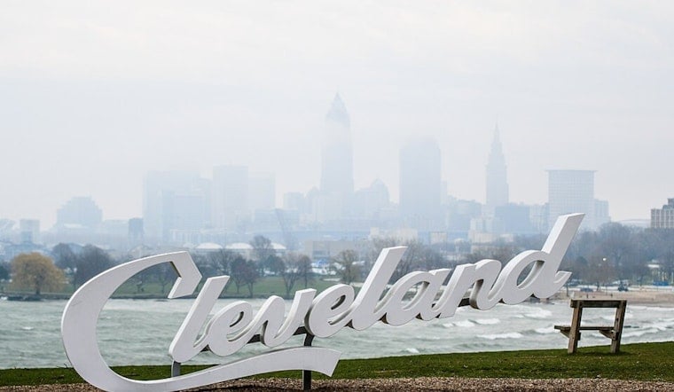
Cleveland rolled today under a gray curtain of heavy rain and dense fog, with temperatures stuck near 61°F. Along the lakeshore, visibility has dropped, steady showers and embedded thunderstorms are slowing the morning commute, and gusty northeast winds are churning up Lake Erie into a trouble spot for swimmers. Forecasters say the showers will hang around into the afternoon before gradually tapering from northwest to southeast.
Showers And Thunderstorms Through Monday
Expect periods of showers and thunderstorms through this morning and into the afternoon, with a high near 73°F and a persistent northeast breeze of about 12 to 16 mph. Forecasters say many spots could pick up roughly a half to three-quarters of an inch of rain, with brief, heavier downpours in the mix. Conditions should dry out today night, setting the stage for a cooler, sunnier Tuesday and Wednesday, according to NWS Cleveland.
Lakefront Hazards And Small Craft Advisories
The National Weather Service has a Beach Hazards Statement in effect through this evening for Erie, Lorain, and Cuyahoga counties, warning of a high rip-current risk. Small Craft Advisories are also up as onshore winds push waves to between 4 and 8 feet. Swimmers are urged to stay out of the water, steer clear of breakwalls, and expect choppy, gusty conditions for boaters with winds around 20 to 25 knots. Local coverage of similar lakeshore impacts is available in Lake Erie whips up trouble.
Commute And Event Impacts
Low cloud ceilings, fog, and patchy visibility are slowing the morning commute and could trigger delays at area airports, so drivers should plan for slick roads and extra travel time. If you have outdoor plans on or near the lake, you will want a rainproof layer and a solid backup plan indoors. Boating and shoreline activities are better postponed until conditions and seas calm down. By tomorrow, high pressure is expected to bring drier weather and more comfortable temperatures in the mid 70s.


.jpg)