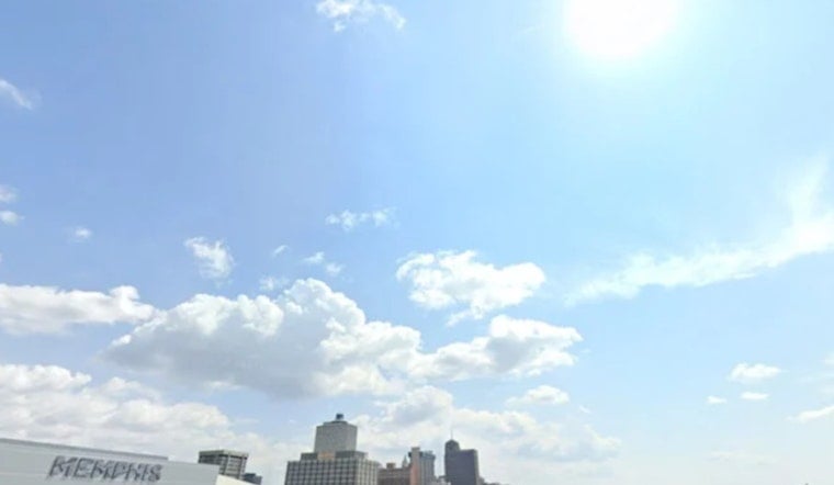
Monday, June 8, 2026 - Memphis rolled out of bed to muggy, partly cloudy skies and mid-70s temps, and it only gets steamier from here. Look for a summer-style afternoon high near 91°F, with the heat index pushing up to around 105°F. Scattered showers and thunderstorms could start popping after about 1 p.m., so keep the water bottle close, take it easy outside during peak heat, and plan for some weather-related hiccups on the afternoon drive.
Afternoon Storms And Heat
A weak disturbance sliding through the Mid-South is expected to fire up a line of showers and a few thunderstorms from midday into the evening. That means brief heavy downpours and pockets of gusty wind are on the table. Most spots should see light rainfall totals, roughly one-tenth to one-quarter of an inch, although a few neighborhoods could get locally heavier amounts.
Forecasters expect highs to stay in the low 90s through midweek, with heat-index values potentially topping 105-107°F by Tuesday and Wednesday. Heat headlines may be needed as early as Tuesday, June 9, 2026, according to the National Weather Service Memphis.
Cooling Centers And Safety
For anyone without reliable air conditioning, the Hospitality Hub is serving as the city's designated cooling center and a key resource for people without shelter. Check their site for current hours and services before heading over, and consider checking in on older neighbors, young children, and pets during the hottest hours on Tuesday and Wednesday, June 9-10, 2026. For more on local relief options, visit the Hospitality Hub.
Plan Ahead
Tonight will not bring much of a break, with a low near 74°F and plenty of humidity hanging around into Tuesday morning. If you have outdoor plans this week, aim for the cooler morning or evening hours and keep a phone handy in case of short-notice storm alerts. This forecast will be updated if any heat advisories or severe-weather warnings are issued.


