An offshore earthquake near Mindanao, Philippines early Friday had Hawaiʻi officials checking the data, then telling residents they could stand down. The state's emergency agency reported preliminary parameters for a 6.7-magnitude event centered near 5.3°N, 125.3°E with an origin time of about 1:35 a.m. HST. Officials said there is no tsunami threat to Hawaiʻi, while still urging residents to monitor official channels for updates.
NO TSUNAMI THREAT
— Hawaiʻi Emergency Management Agency (@Hawaii_EMA) June 26, 2026
An earthquake has occurred with these preliminary parameters:
ORIGIN TIME - 1:35 am HST, June 26, 2026
COORDINATES - 5.3 North 125.3 East
LOCATION - Mindanao Philippines
MAGNITUDE - 6.7 Moment
There is NO tsunami threat to Hawai‘i.
The messaging came from the Hawai‘i Emergency Management Agency, which posted an all-caps "NO TSUNAMI THREAT" alert and listed the quake's preliminary time, location and magnitude. The agency also reminded the public that its social accounts are not monitored 24/7 and that people should call 9-1-1 for emergencies.
How tsunami centers reach that call
The Pacific Tsunami Warning Center and the U.S. tsunami centers review seismic readings, deep-ocean buoy data and coastal tide gauges before deciding whether a temblor might generate hazardous waves. As outlined by the U.S. Tsunami Warning Centers, officials issue a "No Tsunami Warning, Advisory, Watch, or Threat" message when models and sea-level observations show no significant water displacement.
Why the region remains on watch
Southern Mindanao has been unusually active this month: a major magnitude-7.8 quake struck offshore on June 7 and prompted broad tsunami monitoring and local evacuations, according to the USGS. Reporting from Hawai‘i Public Radio described damage and displacement after that earlier quake, context that helps explain why officials are scrutinizing even moderate aftershocks.
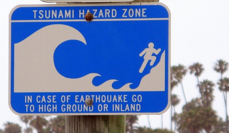
What Hawaiʻi residents should know
There is no current need for coastal evacuations, but people living or working along the shoreline are encouraged to review evacuation routes and keep local alerts turned on. The state's emergency agency maintains sign-ups and evacuation maps on its website, per the Hawai‘i Emergency Management Agency, and technical bulletins are available at tsunami.gov.
State and federal centers will update their assessments if new seismic or sea-level data arrive. For now, officials say the threat to Hawaiʻi remains low and urge the public to rely on official channels rather than social speculation.


