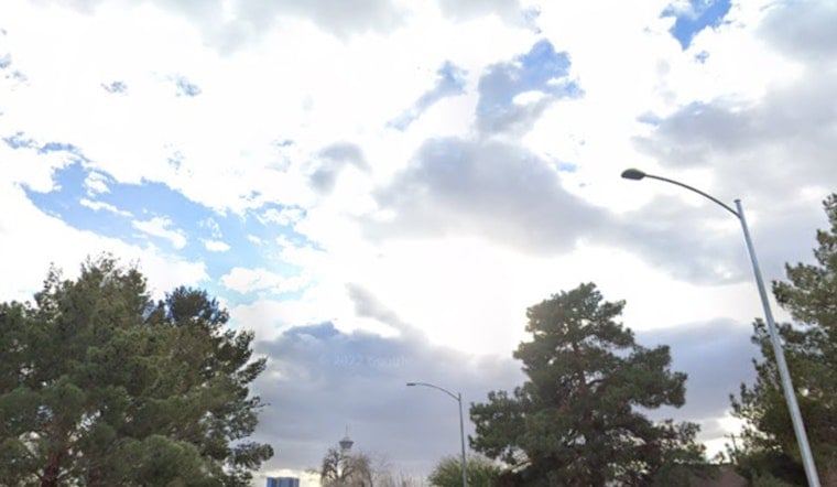
Honolulu rolled into Tuesday, June 2, on the muggy side, with temperatures around 77°F at Daniel K. Inouye International Airport and scattered showers sliding across windward neighborhoods. Showers will be hit or miss through the day, with highs near 84°F and east-northeast winds around 10 to 16 mph, gusting into the low 20s. Brief, heavy downpours could slick up the roads this afternoon in windward and mauka areas and slow the drive home.
Afternoon Winds And Commute
East-northeast trades will keep most of the wet weather focused over windward and mauka zones, but a weak southeasterly flow is sneaking some showers into leeward spots this morning. Expect gusts into the low 20s today, with stronger gusts building by Wednesday, June 3, as trades grow breezier. Forecast guidance points to gusts possibly near 30 mph by Friday, June 5. Drivers on mauka routes should be ready for quick bursts of heavy rain that can cut visibility and slow the afternoon commute.
High Surf And Marine Advisories
A High Surf Advisory is posted for south-facing shores of all islands through 6 AM HST Thursday, June 4. Surf is expected around 8 to 12 feet and could build to 10 to 14 feet by Wednesday, June 3, with periodic wave runup reaching normally dry sections of the shoreline. Small Craft Advisories are also in place for several channels and nearshore waters through Thursday, June 4, making conditions hazardous for small boats and kayaks. According to NWS Honolulu, beachgoers and boaters should follow the lead of ocean safety officials and stay clear of exposed shorelines and channel entrances during the peak of the swell.
What To Do
If you are heading to the beach, stick with lifeguarded spots and give rocky points and ledges plenty of space. Lifeguards may close access if surf climbs past warning thresholds. For more background on the swell that is pushing in, check out our earlier report on the arriving south swell. Around town, keep rain gear handy and build in extra time for rush hour. Wet roads and occasional gusty crosswinds can slow traffic on mauka commutes.
Short Term Outlook
Drier conditions should return Wednesday, June 3, as the surface trough shifts west, while trade winds strengthen again later in the week. Expect breezy to locally strong east-northeast winds Friday, June 5, into the weekend, with the usual pattern of windward and mauka showers and choppy seas near exposed coasts. Check updated forecasts if you have offshore plans or are planning more time at the beach over the next few days.


