New Orleans woke up Thursday morning, June 25, 2026, to a sticky start, with temperatures already near 81°F and dewpoints hanging in the mid-70s under mostly clear skies. This afternoon looks hotter, with highs around 93°F and heat index values potentially pushing near 105°F in inland neighborhoods. There is a slight chance of showers and thunderstorms in the early to mid-afternoon, so it is wise to have a backup plan if you are counting on outdoor time.
Afternoon Storm Threat
Forecasters are calling for a slight chance of showers and thunderstorms between about 1 p.m. and 3 p.m. Thursday, June 25, with a few additional isolated storms possible later in the afternoon and evening. According to the National Weather Service New Orleans/Baton Rouge, a complex of strong or isolated severe storms could fire up today, with the better chances east of I-55. Any storm that pops up could bring sudden heavy downpours and gusty, erratic winds strong enough to toss around loose outdoor gear and cut short festivals, practices, and backyard barbecues.
Heat Relief And Safety
Temperatures are expected to stay parked in the low 90s through the weekend, and when you combine that with dewpoints in the upper 70s, the result is a heat index near 105°F today and climbing toward 110°F starting Sunday, June 28, 2026. If your air conditioning is iffy, the city’s NOLA Ready Heat Relief Map lists cooling centers, pools, and hydration stations. Check NOLA Ready for updated locations and hours before you head out. Drink plenty of water, skip strenuous outdoor activity during the hottest part of the day, and keep an eye on older neighbors and young kids when the heat peaks.
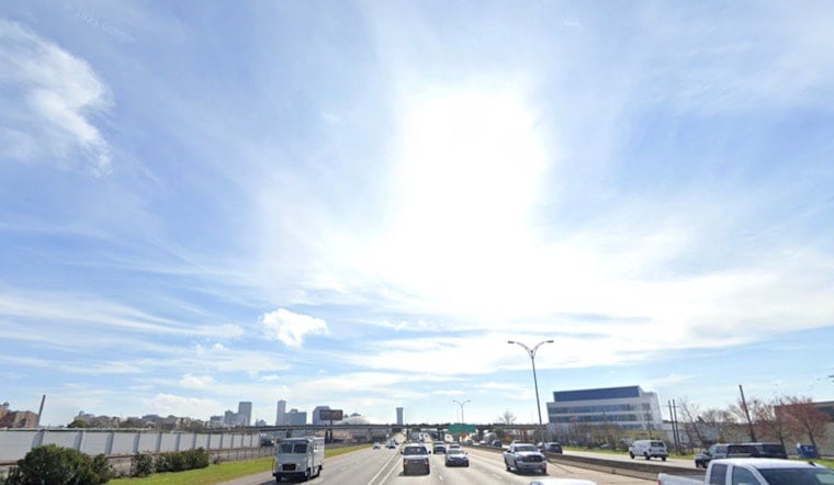
On The Water And Commute
Onshore winds are set to return late Thursday, and any thunderstorm complex that rolls offshore could kick up strong, unpredictable gusts and choppy water for boaters and ferries. The National Weather Service notes that winds will be stronger in and near storms, so it is smart for small craft to wait for calmer conditions. Forecasts show the heat building into the weekend, with those heat index values near 110°F starting Sunday, June 28, 2026, and heat advisories looking increasingly likely into early next week. Drivers and transit riders should also be ready for quick-hitting downpours that can slow traffic and leave standing water on low-lying streets.


