After a day of near-record heat across much of Oklahoma, forecasters say the atmosphere is primed for a narrow but potentially intense band of storms to fire over northern counties and slide south overnight. Very warm, buoyant air stacked ahead of a cold front could let storms ramp up quickly after sunset, and residents in northwest and north-central Oklahoma were urged to follow watches and radar closely as the threat evolves through the evening.
Meteorologist Joseph Neubauer's timing for KOCO shows storms moving in from the west late in the afternoon, potentially reaching Woodward and Seiling around 8 p.m. CDT, then pushing toward Perry by about 11 p.m. before diving toward the Oklahoma City area overnight. KOCO has labeled it a local "level one" threat and highlights damaging straight-line winds up to 60 mph and quarter-size hail as the main concerns. The station also cautioned that radar trends could quickly shift both timing and intensity.
What the federal outlook shows
The Storm Prediction Center's Day-1 outlook on Monday placed the main slight-risk focus over parts of southeast Kansas and central Missouri, but it still allowed for isolated severe storms across the central Plains tonight. Damaging wind and hail remain the primary threats where storms can tap into the buoyant air mass. See the Storm Prediction Center Day-1 outlook for the technical discussion and maps.
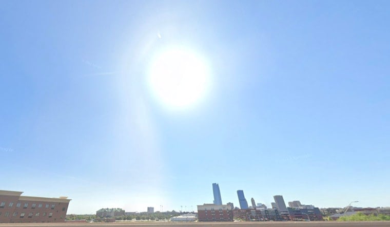
Local forecast: heat sets the stage
The National Weather Service in Norman noted that Monday ranks among the hottest days of the year so far, with highs pushing into the 90s and Will Rogers World Airport forecast to top out near 98°F, which could tie the May 31 record. Forecasters say that kind of heat, combined with modest low-level moisture, is boosting atmospheric instability and can fuel late-day storms once the boundary arrives, according to the office's area forecast discussion. For more detail, see the National Weather Service in Norman.
Timing, impacts and safety
If storms do fire, forecasters warn they could bring pockets of damaging wind, large hail, frequent lightning and heavy rain that would make evening travel tricky. Outdoor events and late-working crews are urged to have a sturdy shelter plan ready and to keep phones and NOAA Weather Radio set to receive alerts. For watch and warning information, check the Storm Prediction Center along with your local National Weather Service office for the latest updates.
With a setup this changeable, forecasters say timing and exact impact zones could still shift, and radar trends will ultimately call the shots tonight. Anyone in a watch or warning area should move to a solid shelter as soon as alerts are issued. Staying weather-aware and putting safety ahead of travel or late-night plans will be key as the storms develop.


