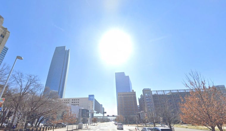
Oklahoma City rolled into Tuesday, June 9, 2026, under clear skies and a comfortable early start, but the cool break will not last long. Temperatures are expected to surge into the low 90s, and with humidity factored in, it will feel more like the low triple digits by mid-afternoon. South winds will strengthen through the day, with gusts strong enough to send unsecured outdoor items tumbling across yards and parking lots.
Afternoon Heat And Gusty Winds
Highs are forecast near 93°F, with heat-index values climbing to around 101°F during the hottest part of the afternoon. A Heat Advisory is in effect for parts of north-central Oklahoma from 1 p.m. to 7 p.m. CDT on Tuesday, June 9, 2026. Expect steady south winds of 14 to 18 mph, with gusts that may reach about 28 to 31 mph. Those winds will not offer much relief, since the moving air will still feel hot and could easily shove around patio furniture or light debris. According to the NWS Norman office, overnight lows will stay on the warm side and heat-index values will remain elevated into Tuesday night.
How To Stay Cool
If you need to be outside, aim to do heavier work in the morning hours, drink plenty of water, and check in on neighbors who might be more vulnerable to the heat. The City of Oklahoma City heat hub lists cooling-center locations along with safety tips for dealing with hot spells, so it is worth a look before you head out. Secure lawn furniture and other loose items that could blow around in the gusts, and try to schedule errands or outdoor activities during the coolest parts of the day.
Tonight And Late-Week Storms
There is a low-end chance that storms developing northwest of the metro will drift into parts of northwest Oklahoma late this afternoon and evening. Any storms that do make it in could produce strong, gusty winds. A drier, hotter stretch settles in on Wednesday and Thursday (Wednesday, June 10, 2026, and Thursday, June 11, 2026), with highs pushing into the upper 90s. A slight chance of late-afternoon showers may show up Thursday before a more active pattern brings showers and thunderstorms from late Thursday night into the weekend. Forecast details and the evolving severe-threat outlook are being monitored by the NWS Norman office.
Quick tips: avoid heavy outdoor exertion during the peak heat window, roughly 1 to 6 p.m. CDT on Tuesday, June 9, 2026, keep pets and children out of direct sun, and have a backup plan in case evening storms flare up. Stay weather-aware through the afternoon and evening and follow official updates if conditions change.


