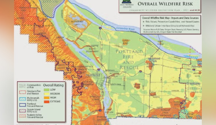
An address-searchable evacuation mapping system is rolling out across the Portland metro’s tri-county area, giving residents and first responders a shared, real-time map for evacuation zones and recommended routes during wildfire threats. The tools, including pre-defined evacuation zones and level-based alerts, are designed to keep traffic moving and cut down on the confusion that turned past Oregon fire seasons into chaotic, smoke-filled traffic jams.
Counties in Multnomah, Clackamas and Washington began launching the new maps this week, as reported by KGW. Clackamas County’s Disaster Management office says the public-facing maps will live on county webpages as part of its ClackGo preparedness campaign, following a recent series of evacuation exercises. Clackamas County adds that this rollout is the latest step in a multi-year effort to fine-tune evacuation zones and expand public outreach.
How the maps work
The tool lets residents plug in an address to see which pre-established evacuation zone they are in and the egress routes responders recommend, while emergency command centers work off the same zone boundaries. County map layers feed into a statewide evacuation layer that updates automatically and can push zone activations into platforms such as Genasys Protect, according to the statewide ArcGIS evacuation service. ArcGIS notes that these integrations allow local changes to ripple quickly across jurisdictions so everyone is looking at the same playbook.
Why it matters locally
Officials say the upgrade is a direct response to hard lessons from the 2020 fire season, when huge numbers of people tried to leave at once, choking major roads and leaving some residents stranded. Daniel Nibouar, Clackamas County’s disaster management director, has pointed to situations where evacuees under lower-level notices got stuck in gridlock, and local fire chiefs say the new mapping system is meant to cut down on mixed messages about which routes to use. The reporting also highlights Forest Grove’s Forest Gale Heights neighborhood, roughly 500 to 600 homes, as a spot where simultaneous evacuations could easily create traffic bottlenecks, as reported by KGW.
What residents should do now
Emergency managers stress that slick maps on a screen only help if people prepare before the flames get close: know your zone, memorize at least two ways out, and pack a go-bag long before smoke or fire makes driving risky. The City of Portland’s evacuation plan lays out the Level 1-3 framework in plain language, with Level 2 meaning be ready to leave at a moment’s notice and Level 3 meaning leave immediately, and county preparedness pages walk residents through signing up for alerts and saving or printing their maps. For detailed guidance on alert levels and how to get notifications, see the Portland Bureau of Emergency Management and Clackamas County preparedness resources, which also remind residents that cell networks and internet service can fail during major incidents, so printed or offline plans are still essential.
The new mapping system is built to make evacuations calmer and more orderly, but officials are sticking with the classic advice: leave early rather than wait for a last-minute traffic jam. Save your zone, practice your routes and get those local alerts set up before fire season really kicks in.


