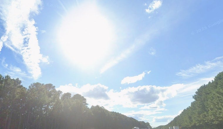
Raleigh is waking up to a mostly clear, comfortably cool Wednesday, with temperatures sitting in the mid-60s at Raleigh-Durham International Airport. Skies are expected to open up into a sunny afternoon, with a high near 87°F and a light north breeze around 5 mph. Tonight stays mostly clear with a low near 65°F, so it is a good evening to crack a window or linger on the porch.
Afternoon Sun And Light Winds
Sunshine rules the afternoon and humidity holds at a reasonable level, so any outdoor plans for later today look to be in great shape. With winds staying light, both the drive home and those post-work patio meetups should roll along without any weather drama.
Hot Weekend Ahead
That calm, pleasant stretch will not last. Temperatures start to climb later in the week, with highs pushing into the upper 90s on Friday and flirting with 100°F on Saturday before easing back a bit on Sunday. According to the National Weather Service, a building ridge overhead will crank up the heat and increase the odds of dangerous conditions later next week. NWS Raleigh
Storm Timing And Impacts
Scattered, daytime-driven showers and thunderstorms are most likely late Friday night and then again during the afternoons on Saturday and Sunday, with the best shot at storms arriving Sunday afternoon. The strongest cells could pack brief, heavy downpours and damaging wind gusts, so anyone planning festivals, practices or backyard parties may want a quick pivot plan ready to go.
How To Stay Cool
If your air conditioning is spotty or nonexistent, libraries and community centers often open their doors as cooling spaces during heat spikes, so consider planning errands to avoid the worst of the afternoon heat on Friday and Saturday. Check in on older neighbors, family and anyone working outdoors, and make sure water, shade and rest breaks are easy to reach. For local cooling locations and more detailed heat safety guidance, the city has pulled resources together online. City of Raleigh


