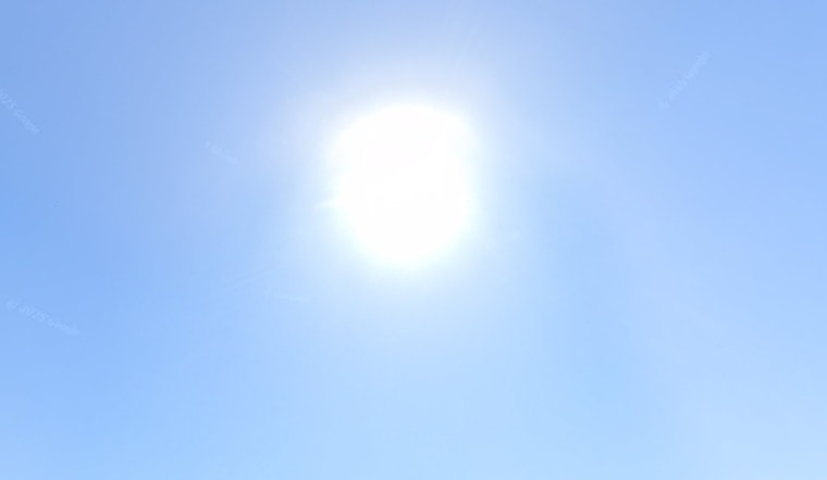
Sacramento is heating up this Thursday, June 18, with sunny skies and a midafternoon high near 85°F on tap for the city. Inland neighborhoods away from the river are expected to run a bit hotter. Skies are mostly clear now, and those familiar south-southwest winds are set to crank up through the afternoon, so it will feel both hotter and breezier near the Delta.
Afternoon Heat and Wind
Forecasters are calling for a bright, dry afternoon with a high around 85°F in Sacramento, and warmer readings elsewhere in the valley away from the river. South-southwest winds should run 3 to 13 mph, with gusts that could reach 23 mph into the evening. Those stronger gusts are most likely across the Delta and nearby Sacramento spots late this afternoon and this evening.
If you are planning yard work, construction, or exercise outside, forecasters suggest aiming for the cooler morning or evening hours and drinking plenty of water, especially if you will be in full sun, according to the National Weather Service Sacramento.
Mountains And Lightning Risk
In the high country, there is a chance of isolated afternoon showers and thunderstorms over the Sierra crest south of Highway 50 today through Friday. A few of those storms could pack frequent lightning and gusty outflow winds. Forecasters also flag the risk of dry lightning that might spark new fires where little or no rain reaches the ground. Any mountaintop storms should be brief but intense.
If your plans take you into the Sierra, bring a reliable way to check for updated conditions and try to avoid solo backcountry travel during the typical afternoon thunderstorm window.
Weekend Outlook
Temperatures are expected to ease a bit through the weekend. Juneteenth on Friday, June 19, looks sunnier and slightly milder, with a high near 81°F, before readings rebound to the 90s by Sunday and early next week. Forecasts call for mid 90s by Tuesday and upper 90s by Wednesday.
That swing from a warm midweek to a cooler Friday, then right back into a hotter stretch early next week, follows the mid-June pattern already in play. For more context and a refresher on local cooling resources, see our earlier report on how the midweek heat sticks around all night.


