After weeks of heavy spring rain finally nudged some Hill Country reservoirs out of a multiyear slump, San Antonio-area lake watchers are breathing a little easier. But the sigh of relief comes with a big asterisk. Forecasters say a strengthening El Niño could deliver a wet winter and still set up the Plains, including West Texas, for several dry years afterward, raising the possibility of a so-called "mini Dust Bowl."
Reservoirs: Quick Gains, Fragile Recovery
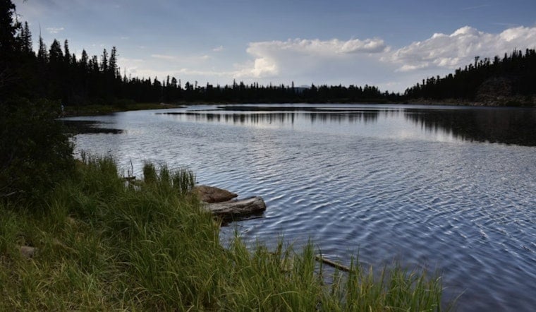
Medina Lake and Canyon Lake have both climbed from painfully low levels this spring, yet neither is close to full. Water Data for Texas reports Medina Lake at about 8.7% full on June 24, up from roughly 3.9% a month earlier, essentially a doubling in storage. State reservoir listings also show Canyon Lake at about 61.7% capacity on June 24, with the surface roughly 10 feet higher than a year earlier, a reminder of just how fast these lakes can swing.
What Forecasters Are Saying
This month, AccuWeather boosted the odds that the current El Niño will intensify into a very strong, or "Super," event and pointed to history suggesting that strong El Niño episodes have sometimes been followed by prolonged drought across the Plains. In a company release, AccuWeather put the chance of a Super El Niño at roughly 70% and warned that "the next two to three years could end up being significantly drier" in parts of the region.
Federal Outlook: El Niño Is Already Present
NOAA's Climate Prediction Center currently has an El Niño Advisory in effect and says conditions are already present, with a likely strengthening into the Northern Hemisphere winter of 2026-27. The CPC's June diagnostic cites Niño-3.4 and subsurface heat anomalies that raise the probability of a very strong event later this year, which in turn can tilt long-term odds toward regional dryness. (NOAA CPC.)
Why One Wet Season May Not Cure Long Deficits
Federal drought specialists are quick to stress that a burst of heavy rain or even a single wet winter often is not enough to erase years of groundwater and reservoir deficits. The National Integrated Drought Information System notes that short-term storms can give a quick boost to surface water levels but may fall short of recharging aquifers or reversing long-term soil moisture shortages, and reservoir records show that rapid rebounds can just as quickly turn into steep declines once dry patterns return. (Drought.gov.)
That pattern of lakes jumping after big storm events, then trending back down in the years after strong El Niño episodes, shows up clearly in state reservoir data and has been highlighted in recent local coverage. (MySA.)
AccuWeather founder Dr. Joel N. Myers put the concern bluntly, saying the current setup "raises the real possibility of a 'mini Dust Bowl'" if long-term drought takes hold. The phrase is meant to flag potential risks to crops, grazing land, and municipal supplies, not to predict a repeat of the 1930s catastrophe. Regional agricultural and water managers say the real test will be multi-season runoff and sustained reservoir recovery, not a single stormy stretch.
What To Watch Next
Anyone who boats, fishes, or depends on Hill Country reservoirs will want to keep an eye on the official reservoir charts and weekly drought updates from state and federal agencies. Forecasters will be watching CPC ENSO updates and NIDIS/Drought.gov outlooks through the summer and fall, while locals may want to focus less on one rainy week and more on the long-term reservoir trendlines that will signal whether the region is truly climbing out of water stress or just getting a brief reprieve.


